
Your Vietnam Bookings Website
Airport List Vietnam
Complete Vietnam Airports List & Airport Codes
Friends Travel Vietnam the Travel Company Turning Travellers Into Friends Since 2013
Travel packages, private tours, group tours
24/7 Support
Lowest Price Guarantee
Thousands of Reviews
Complete Airports List Vietnam - Vietnam Airport Codes
With 33 Airports in Vietnam here the complete Airports List Vietnam and Vietnam Airport Codes (IATA / ICAO) of all International Airports, Domestic Airports,, below you will find all listed airports in Vietnam. For more detailed information about any of these airports in Vietnam click on the airport name. If you are planning a visit Vietnam or travel to any city in Vietnam, knowledge about the airports and other travel facility will be really useful. Get Vietnam Codes, location of Airports, Vietnam Airport Map etc...
“Travel makes one modest.
You see what a tiny place you occupy in the world ”
Index Vietnam Domestic Airports
Index Vietnam International Airports
Vietnam International Airport Codes
| City | IATA | Airport Name | ||
|---|---|---|---|---|
| 1 | Cần Thơ | VCA | Can Tho International Airport | More info |
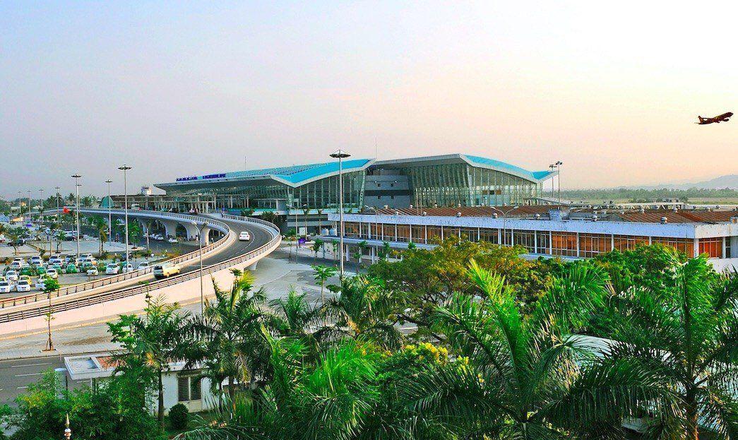
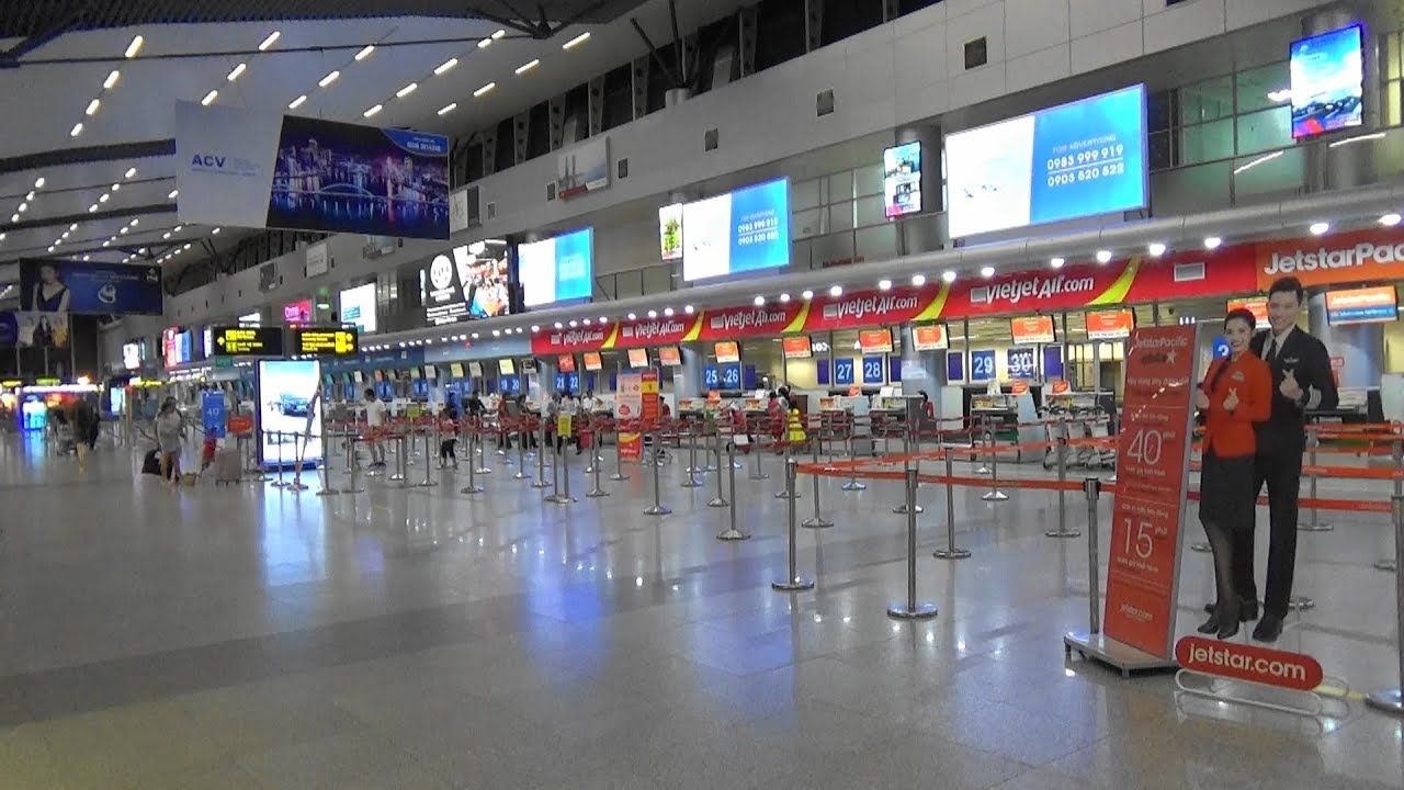
| 2 | Da Nang | DAD | Da Nang International Airport | More info |
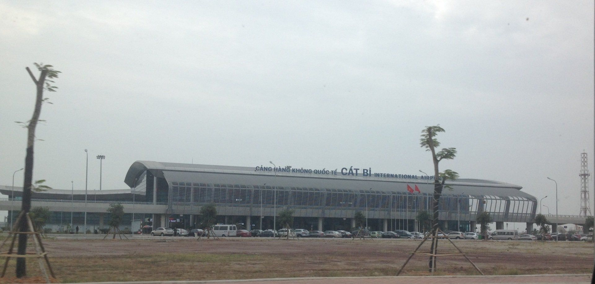
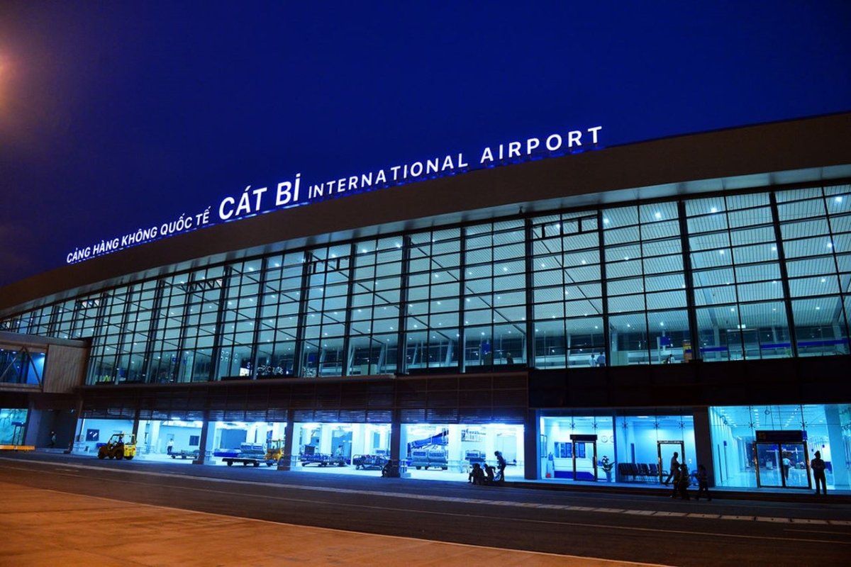
| 3 | Hai Phong | HPH | Cat Bi International Airport | More info |
| 4 | Hanoi | HAN | Noi Bai International Airport | More info |
| 5 | Ho Chi Minh City | SGN | Tan Son Nhat International Airport | More info |
| 6 | Huế | HUI | Phu Bai International Airport | More info |
| 7 | Nha Trang | CRX | Cam Ranh International Airport | More info |
| 8 | Phú Quốc Island | PQC | Phu Quoc International Airport | More info |
| 9 | Quảng Ninh (Halong Bay) | VDO | Van Don International Airport | More info |
| 10 | Vinh | VII | Vinh International Airport | More info |
Vietnam Domestic Airport Codes
| City | IATA | Airport Name | ||
|---|---|---|---|---|
| 1 | Buôn Ma Thuột | BMV | Buon Ma Thuot Airport | More info |
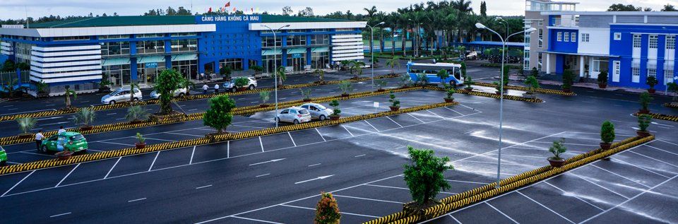
| 2 | Cà Mau | CAH | Ca Mau Airport | More info |
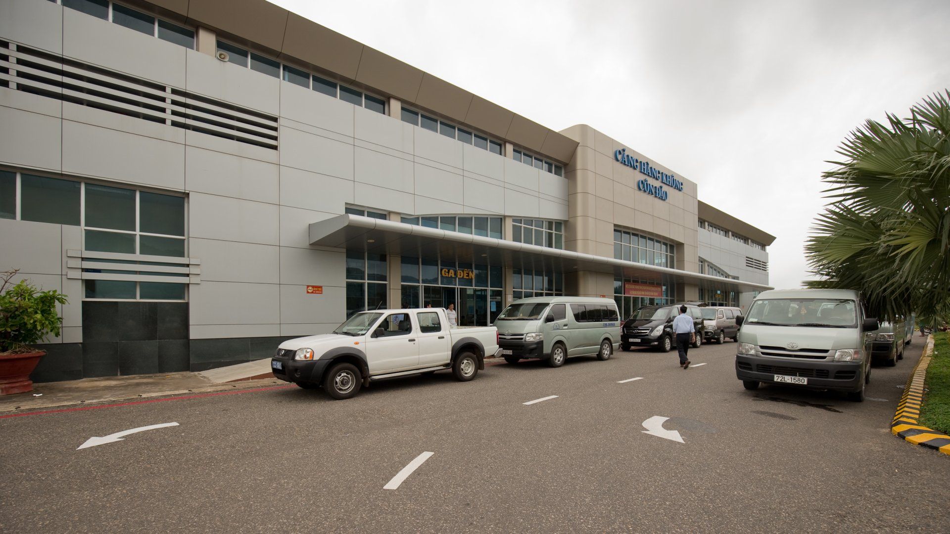
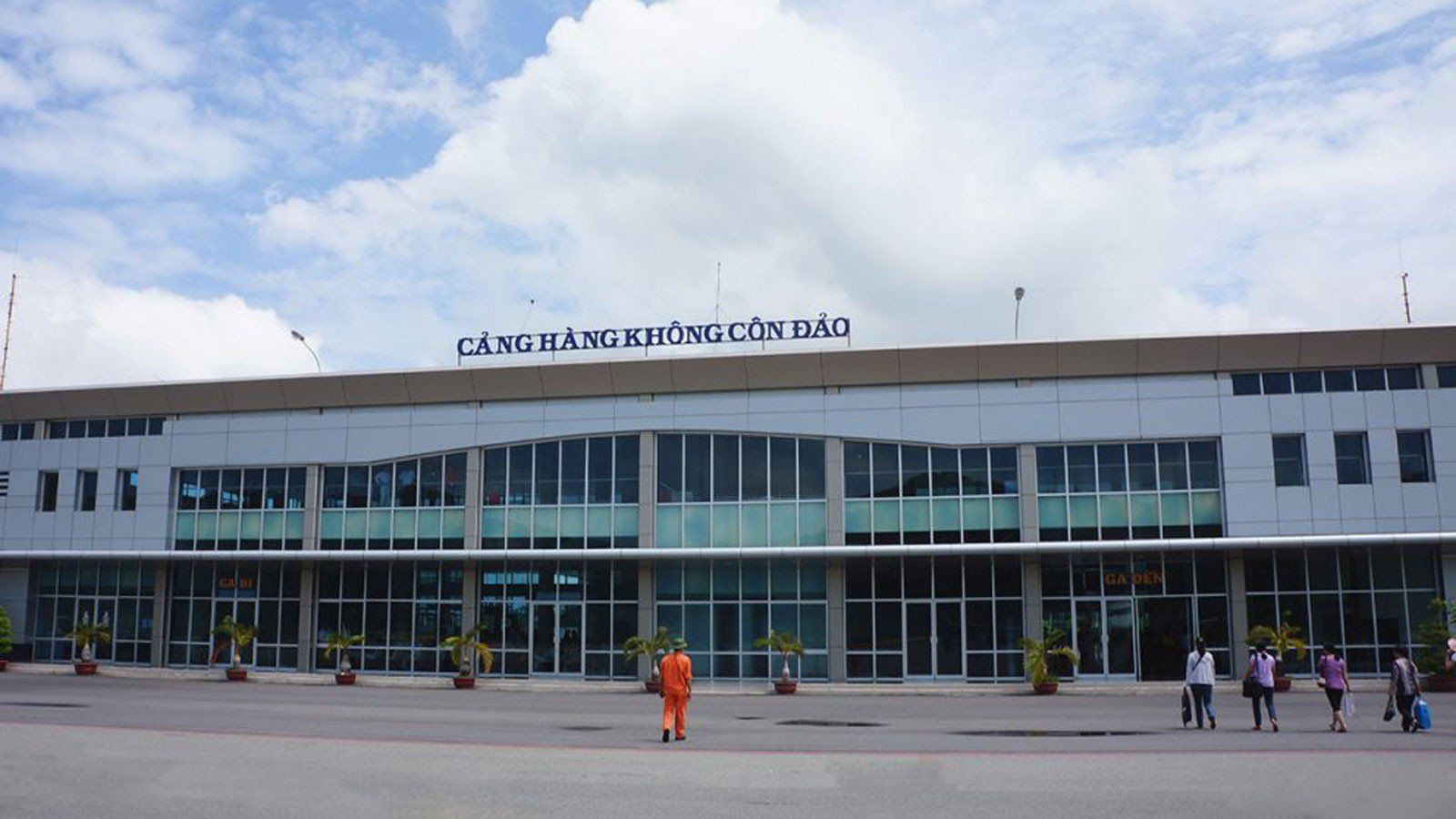
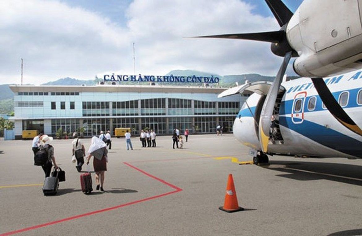
| 3 | Côn Đảo | VCS | Co Ong Airport | More info |
| 4 | Chu Lai | VCL | Chu Lai Airport | More info |
| 5 | Da Lat | DLI | Lien Khuong Airport | More info |
| 6 | Điện Biên Phủ | DIN | Dien Bien Phu Airport | More info |
| 7 | Đồng Hới | VDH | Dong Hoi Airport | More info |
| 8 | Pleiku | PXU | Pleiku Airport | More info |
| 9 | Quy Nhơn | UIH | Phu Cat Airport | More info |
| 10 | Rạch Giá | VKG | Rach Gia Airport | More info |
| 11 | Tuy Hòa | TBB | Dong Tac Airport | More info |
| 12 | Vũng Tàu | VTG | Vung Tau Airport | More info |
| 13 | Thanh Hoá | THD | Tho Xuan Airport | More info |
Vietnams Airline Companies
| Name Airliner | IATA | Call Sign | ||
|---|---|---|---|---|
| 1 | Bamboo Airways | QH | BAMBOO | Privately owned carrier |
| 2 | Hai Au Aviation | HA | - | Seaplane carrier |
| 3 | Jetstar Pacific Airlines | BL | PACIFIC AIRLINES | Low-cost carrier |
| 4 | VietJet Air | VJ | VIETJETAIR | Low-cost carrier |
| 5 | Vietnam Airlines | VN | VIET NAM AIRLINES | National state-own carrier |
Vietnams Airline Charter Companies
| Name Airliner | IATA | Call Sign | ||
|---|---|---|---|---|
| 1 | Vietnam Air Services Company (VASCO) | 0V | Charter carrier | Charter carrier |
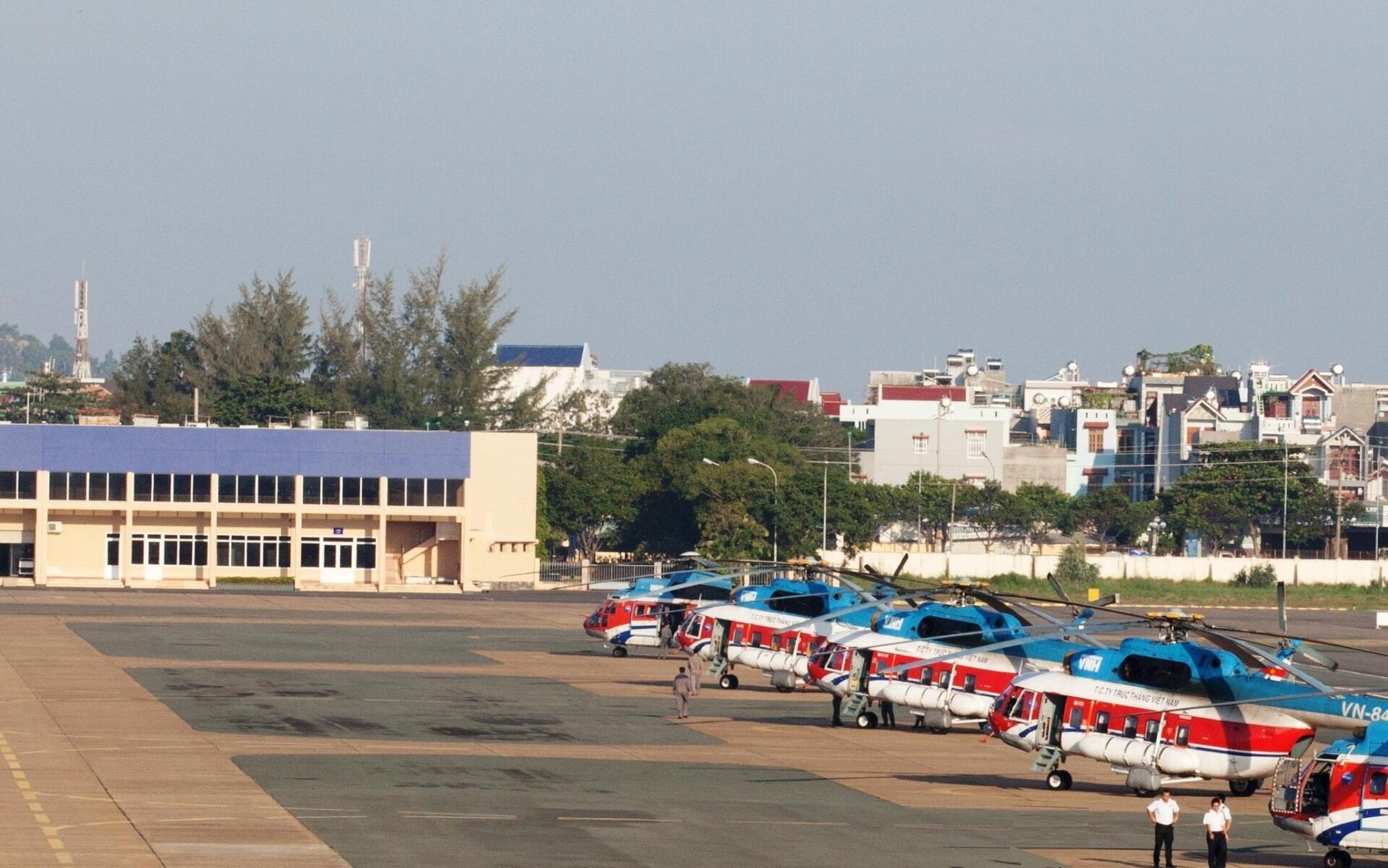
| 2 | Vietnam Helicopter Corporation | - | VIETNAM HELICOPTER | Charter helicopter carrier |
“The world is a book and those who do not travel read only one page”
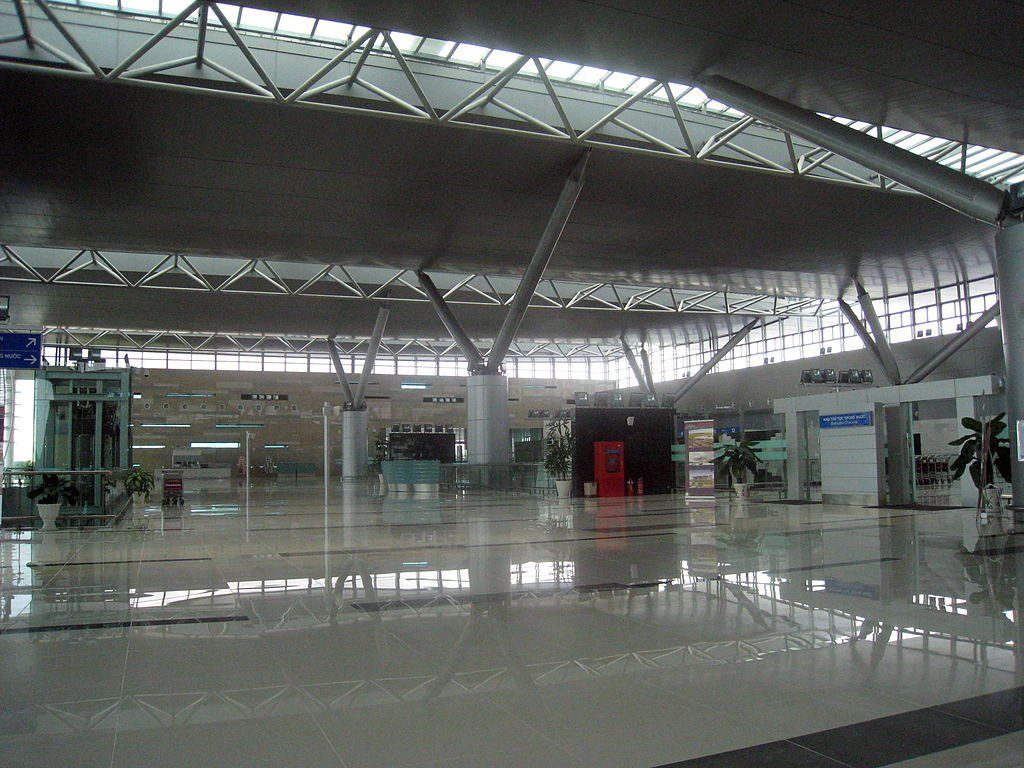
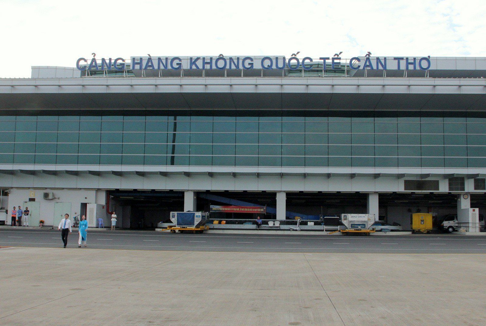
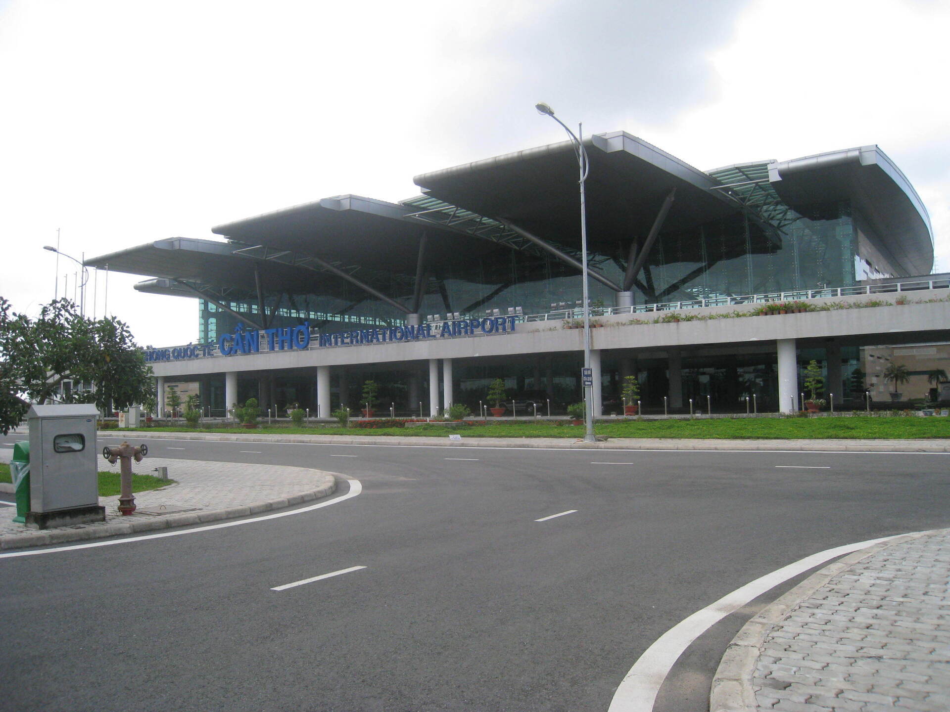
Can Tho International Airport
Airlines and Destinations
| Airlines | Destinations |
|---|---|
| AirAsia | Kuala Lumpur–International |
| Bamboo Airways | Con Dao (begins 18 August 2020), Da Nang, Hanoi |
| Thai AirAsia | Bangkok–Don Mueang |
| Thai Vietjet Air | Charter: Bangkok-Suvarnabhumi |
| VietJet Air | Da Lat, Da Nang, Hai Phong, Hanoi, Nha Trang, Seoul–Incheon,Taipei–Taoyuan, Thanh Hoa, Vinh |
| Vietnam Airlines | Buon Ma Thuot, Da Lat, Da Nang, Hai Phong, Hanoi, Vinh | Charter: Taipei–Taoyuan, Taichung, Kaohsiung |
| Vietnam Airlines operated by VASCO | Con Dao, Phu Quoc |
Can Tho Airport Info
| Can Tho Airport IATA Code: | VCA | Can Tho Airport ICAO Code: | VVCT |
| Latitude : | 10.0853 | Longitude : | 105.712 |
| City : | Can Tho | Country : | Vietnam |
| World Area Code : | 791 | Airport Type : | Medium |
| Can Tho Airport Address : | Can Tho International Airport (VCA), Lê Hồng Phong, quận Bình Thuỷ, Can Tho, Vietnam, | ||
| Contact Details : | +84 (0) 710 3844301 | ||
| Website | http://www.canthoairport.vn/ | ||
| Airport Type : | Public | ||
| Operator : | Southern Airports Authority | ||
| Established Year : | 1965 | ||
| Can Tho Airport Timezone : | GMT +07:00 hours |
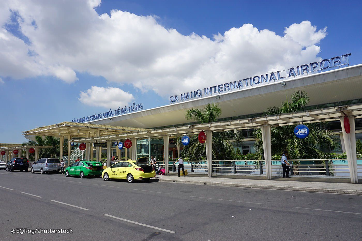
Danang International Airport
If you are planning to travel to Danang Airport in Vietnam , you find here all very useful information. This gives complete information about the Danang Airport along with the airport location map, Time Zone, latitude & longitude,Danang Airport Map showing the location of this airport in Vietnam, together with Danang Airport IATA Code and also flight connections with the airliners who fly to other destinations in Vietnam or international flights. Friends Travel Vietnam can assist you to book those domestic flights or supply you with more information.
Airlines and Destinations
| Airlines | Destinations |
|---|---|
| AirAsia | Kuala Lumpur–International |
| Air Busan | Busan |
| Air Macau | Macau |
| Air Seoul | Seoul–Incheon |
| Asiana Airlines | Busan, Seoul–Incheon |
| Azur Air | Seasonal charter: Krasnoyarsk, Irkutsk, Novosibrisk |
| Bangkok Airways | Bangkok–Survarnabhuni |
| Bamboo Airways | Con Dao (begins 18 August 2020), Hai Phong, Hanoi, Ho Chi Minh City, Seoul–Incheon, Taipei–Taoyuan |
| Cambodia Angkor Air | Phnom Penh, Siem Reap |
| Cathay Dragon | Hong Kong |
| China Eastern Airlines | Beijing–Daxing, Kunming | Seasonal charter: Chengdu |
| China Southern Airlines | Beihai, Guangzhou, Zhengzhou |
| Eastar Jet | Cheongju, Seoul–Incheon |
| EVA Air | Taipei–Taoyuan |
| Fly Gangwon | Yangyang |
| Hai Au Aviation | Dong Hoi, Hue |
| Hainan Airlines | Guangzhou, Shenzhen |
| HK Express | Hong Kong |
| Jeju Air | Busan, Seoul–Incheon | Seasonal: Daegu, Muan |
| Jetstar Asia Airways | Singapore |
| Jetstar Pacific | Buon Ma Thuot, Hanoi, Ho Chi Minh City, Hong Kong, Kaohsiung, Taipei–Taoyuan, Vinh | Seasonal: Phu Quoc | Charter: Macau |
| Jin Air | Busan, Seoul–Incheon |
| Korean Air | Busan, Seoul–Incheon |
| Lao Airlines | Pakse, Savannakhet, Vientiane |
| Malindo Air | Kuala Lumpur–International |
Danang Airport Info
| Danang Airport IATA Code: | DAD | Can Tho Airport ICAO Code: | VVDN |
| Latitude: | 16.0439 | Longitude: | 108.199 |
| City: | Da Nang | Country: | Vietnam |
| World Area Code: | 791 | Airport Type: | Large |
| Danang Airport Address: | Da Nang Air Base (DAD), Hải Châu, Da Nang, Vietnam | ||
| Contact Details: | +84 511 3823 391 | ||
| Website | http://www.danangairportonline.com/ | ||
| Airport Type: | Public / Military | ||
| Operator: | Airports Corporation of Vietnam | ||
| Hub for: | Vietnam Airlines | ||
| Can Tho Airport Timezone: | GMT +07:00 hours |
Hai Phong-Cat Bi International Airport
Airlines and Destinations
| Airlines | Destinations |
|---|---|
| Bamboo Airways | Buon Ma Thuot, Da Nang, Ho Chi Minh City, Nha Trang, Quy Nhon |
| Donghai Airlines | Shenzhen |
| Jetstar Pacific Airlines | Ho Chi Minh City |
| Ruili Airlines | Kunming |
| VietJet Air | Bangkok–Suvarnabhumi, Buon Ma Thuot, Can Tho, Da Lat, Da Nang, Ho Chi Minh City, Nha Trang, Phu Quoc, Pleiku, Quy Nhon, Seoul–Incheon |
| Vietnam Airlines | Buon Ma Thuot, Can Tho, Da Lat, Da Nang, Dien Bien Phu (begins 22 June 2020), Ho Chi Minh City, Nha Trang, Phu Quoc |
Cat Bi Airport Info
| Cat Bi Airport IATA Code: | HPH | Cat Bi Airport ICAO Code: | VVCI |
| Latitude: | 20.8194 | Longitude: | 106.725 |
| City: | Haiphong | Country: | Vietnam |
| World Area Code: | 791 | Airport Type: | Medium |
| Cat Bi Airport Address: | Catbi Airport (HPH), Haiphong, Vietnam | ||
| Airport Type: | Public | ||
| Operator: | Northern Airports Services Company | ||
| Cat Bi Airport Timezone: | GMT +07:00 hours |
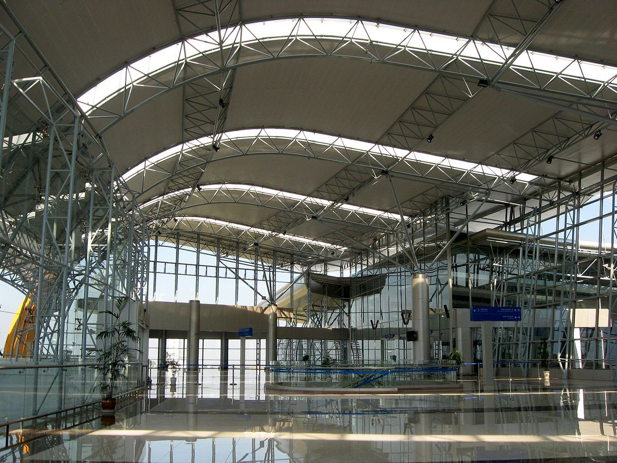
Hanoi-Noi Bai International Airport
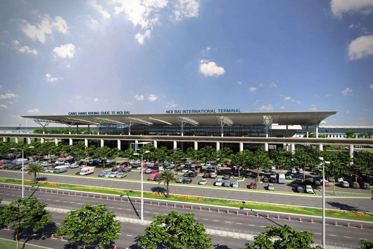
The main airport that serves Hanoi and many surrounding Northern provinces is Noi Bai International Airport (HAN). The airport is located about 30km from city center, in the middle of a rice paddy field suburban area that once belonged to Vinh Phuc province.
Noi Bai is located 30kmnorth of Hanoi City Center. Travel time between Hanoi Old Quarter and Noi Bai Airport is about 1 hour or 45 minutes without traffic. For driving, you can reach the airport via Nhat Tan bridge or Thang Long bridge.
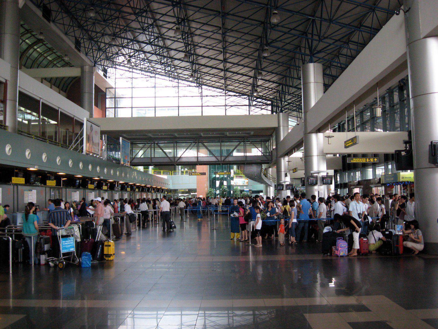
The first floor of the hall is arrival lobby. You can find currency exchange booths, airport taxi services and information booths on this floor.
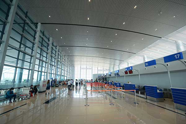
The second floor has departure gates and check-in areas for domestic flights. Boarding gates from 2-5 is on the far left of the airport and boarding gates from 6-10 is on the far right. In the middle and near the elevator is the border police control door. The custom declaration form has been abandoned for all outbound travellers as of September 2010.
The airport top floor has several restaurants and bars that serve breakfasts, lunches and dinners. The food is decent and inexpensive but do not expect an international selection.
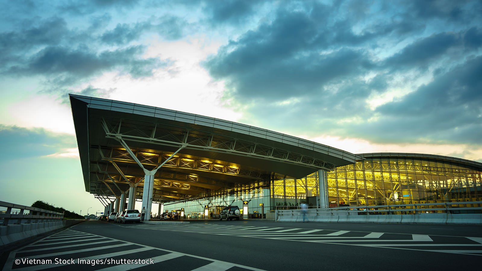
The T2 Hall was brought into use in early 2015 and serves all international routes. There are a total of 4 levels: first level being arrival hall, third level being departure hall and the second and fourth level hosting a number of food vendors. As you step down from an international flight, you will be passing through immigration office first - this is where you pick up your visa on arrival. If you already have a visa you can go straight to Customs, have your passport scanned and go to collect your baggage.
ATMs: There are a number of ATMs and currency exchange booth located on the first level of terminal 2. You can spot them easily near the entrance of the airport.
Airlines and Destinations
| Airlines | Destinations | Airlines | Destinations |
|---|---|---|---|
| Aeroflot | Moscow–Sheremetyevo | Korean Air | Seoul–Incheon |
| AirAsia | Kuala Lumpur–International | Lao Airlines | Luang Prabang, Vientiane |
| Air Busan | Busan | Malaysia Airlines | Kuala Lumpur–International |
| Air China | Beijing–Capital | Malindo Air | Kuala Lumpur–International |
| Air Macau | Macau | Mandarin Airlines | Taichung |
| Air Seoul | Seoul–Incheon | Philippine Airlines | Manila |
| All Nippon Airways | Tokyo–Narita | Qatar Airways | Doha |
| Asiana Airlines | Seoul–Incheon | Scoot | Singapore |
| Bamboo Airways | Buon Ma Thuot, Can Tho, Chu Lai, Con Dao (begins 18 August 2020), Da Lat, Da Nang, Dong Hoi, Ho Chi Minh City, Hue, Kaohsiung (begins 1 August 2020), Nha Trang, Phu Quoc, Pleiku, Prague (begins 25 October 2020), Quy Nhon, Seoul–Incheon (begins 1 August 2020), Taipei–Taoyuan, Tuy Hoa, Vinh | Charter: Ibaraki, Tainan | Shenzhen Airlines | Guangzhou, Shenzhen |
| Bangkok Airways | Chiang Mai | Sichuan Airlines | Chengdu |
| Cathay Dragon | Hong Kong | SilkAir | Singapore |
| Cebu Pacific | Manila | Singapore Airlines | Singapore |
| China Airlines | Taipei–Taoyuan | Thai AirAsia | Bangkok–Don Mueang, Chiang Mai |
| China Eastern Airlines | Kunming, Nanning | Thai Airways | Bangkok–Suvarnabhumi |
| China Southern Airlines | Beijing–Daxing, Changsha, Guangzhou, Shenzhen | Thai Lion Air | Bangkok–Don Mueang |
| Chongqing Airlines | Chongqing | Turkish Airlines | Istanbul |
| Eastar Jet | Seoul–Incheon | T'way Air | Busan, Daegu, Seoul–Incheon |
| Emirates | Dubai–International | VietJet Air | Bangkok–Suvarnabhumi, Buon Ma Thuot, Busan, Can Tho, Chu Lai, Da Lat, Da Nang, Delhi, Denpasar/Bali, Dong Hoi, Ho Chi Minh City, Hue, Kaohsiung, Mumbai, Nha Trang, Osaka–Kansai, Phu Quoc, Pleiku, Quy Nhon, Seoul–Incheon, Siem Reap, Singapore, Taichung, Taipei–Taoyuan, Tokyo–Narita, Tuy Hoa, Yangon | Charter: Yangyang |
| EVA Air | Taipei–Taoyuan | Vietnam Airlines | Bangkok–Suvarnabhumi, Beijing–Capital, Beijing–Daxing, Buon Ma Thuot, Busan, Can Tho, Chengdu, Chu Lai, Da Lat, Da Nang, Dong Hoi, Frankfurt, Fukuoka, Guangzhou, Haikou, Ho Chi Minh City, Hong Kong, Hue, Kaohsiung, Kuala Lumpur–International, London–Heathrow, Luang Prabang, Macau, Moscow–Sheremetyevo, Nagoya–Centrair, Nha Trang, Osaka–Kansai, Paris–Charles de Gaulle, Phnom Penh, Phu Quoc, Pleiku, Quy Nhon, Seoul–Incheon, Shanghai–Pudong, Shenzhen, Siem Reap, Singapore, Sydney, Taipei–Taoyuan, Tokyo–Haneda, Tokyo–Narita, Tuy Hoa, Vientiane, Vinh, Yangon | Charter: Chongqing, Dalian, Ibaraki, Ningbo |
| Fly Gangwon | Yangyang | Vietnam Airlines operated by VASCO | Dien Bien Phu, Dong Hoi, Vinh |
| GX Airlines | Luoyang, Nanning | Japan Airlines | Tokyo–Narita |
| Hai Au Aviation | Ha Long Bay | Jeju Air | Seoul–Incheon |
| Hong Kong Airlines | Hong Kong | Jetstar Pacific | Da Lat, Da Nang, Guangzhou, Ho Chi Minh City, Hong Kong |
| IndiGo | Kolkata | Jin Air | Seoul–Incheon |
Hanoi-Noi Bai Airport Info
| Noi Bai Airport IATA Code: | HAN | Noi Bai Airport ICAO Code: | VVNB |
| Latitude: | 21.2212 | Longitude: | 105.807 |
| City: | Hanoi | Country: | Vietnam |
| World Area Code: | 791 | Airport Type: | Large |
| Noi Bai Airport Address: | Phú Minh, Sóc Sơn, Hanoi, Vietnam | ||
| Contact Details: | +84 (0) 24 3886 5047 | ||
| Hub for: | VietJet Air, Vietnam Airlines | ||
| Airport Type: | Civil/Military | ||
| Operator: | Airports Corporation of Vietnam (ACV) | ||
| Established Year: | 1978 | ||
| Noi Bai International Airport Timezone: | GMT +07:00 hours |
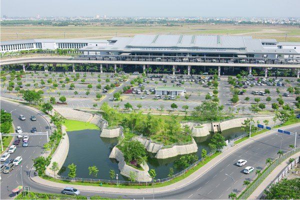
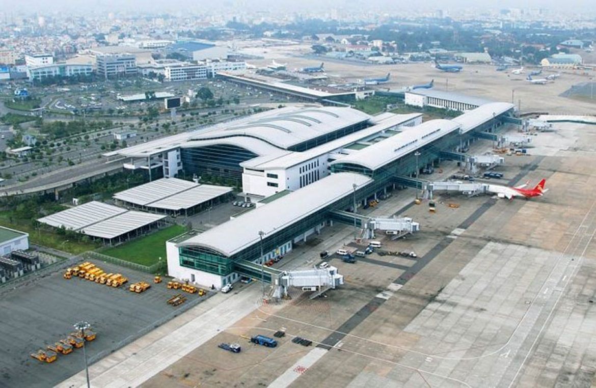
Tan Son Nhat-Saigon-HCM International Airport
Airlines and Destinations
| Airlines | Destinations | Airlines | Destinations |
|---|---|---|---|
| Aeroflot | Moscow–Sheremetyevo | Lao Airlines | Pakse, Vientiane |
| AirAsia | Johor Bahru, Kuala Lumpur–International, Penang | LOT Polish Airlines | Seasonal charter: Warsaw–Chopin |
| Air Busan | Busan | Malaysia Airlines | Kuala Lumpur–International |
| Air China | Beijing–Capital | Malindo Air | Kuala Lumpur–International |
| Air France | Paris–Charles de Gaulle | Mandarin Airlines | Taichung |
| All Nippon Airways | Tokyo–Haneda, Tokyo–Narita | Nok Air | Bangkok–Don Mueang |
| Asiana Airlines | Seoul–Incheon | Philippine Airlines | Manila |
| Bamboo Airways | Da Nang, Dong Hoi, Hai Phong, Ha Long, Hanoi, Nha Trang, Phu Quoc, Quy Nhon, Thanh Hoa, Vinh | Charter: Ibaraki | Philippines AirAsia | Manila |
| Qatar Airways | Doha, Phnom Penh | ||
| Cambodia Angkor Air | Phnom Penh, Siem Reap, Sihanoukville | Royal Brunei Airlines | Bandar Seri Begawan |
| Cathay Pacific | Hong Kong | Ruili Airlines | Kunming |
| Cebu Pacific | Manila | Scoot | Singapore |
| China Airlines | Taipei–Taoyuan | Sichuan Airlines | Chengdu, Nanning |
| China Eastern Airlines | Kunming, Shanghai–Pudong | Singapore Airlines | Singapore |
| China Southern Airlines | Beijing–Daxing, Guangzhou, Shanghai–Pudong, Shenzhen, Wuhan) | Thai AirAsia | Bangkok–Don Mueang |
| Chongqing Airlines | Chongqing | Thai Airways | Bangkok–Suvarnabhumi |
| Druk Air | Charter: Guwahati, Paro | Thai Vietjet Air | Pattaya–U-Tapao, Udon Thani |
| Edelweiss Air | Seasonal: Zürich | Turkish Airlines | Istanbul |
| Emirates | Dubai–International | T'way Air | Seoul–Incheon |
| EVA Air | Taipei–Taoyuan | Uni Air | Taipei–Taoyuan |
| Finnair | Seasonal: Helsinki | VietJet Air | Bangkok–Suvarnabhumi, Buon Ma Thuot, Chiang Mai, Chu Lai, Da Lat, Da Nang, Delhi, Denpasar/Bali, Dong Hoi, Hai Phong, Ha Long, Hanoi, Hong Kong, Hue, Kaohsiung, Kuala Lumpur–International, Mumbai, Nha Trang, Osaka–Kansai, Phuket, Phu Quoc, Pleiku, Qui Nhon, Seoul–Incheon, Singapore, Taichung, Tainan, Taipei–Taoyuan, Thanh Hoa, Tokyo–Narita, Vinh |
| Fly Gangwon | Yangyang | Vietnam Airlines | Bangkok–Suvarnabhumi, Beijing–Daxing, Buon Ma Thuot, Busan, Chu Lai, Da Lat, Da Nang, Denpasar/Bali, Dong Hoi, Frankfurt, Fukuoka, Guangzhou, Haikou, Hai Phong, Ha Long, Hangzhou, Hanoi, Hong Kong, Hue, Jakarta–Soekarno-Hatta, Kaohsiung, Kuala Lumpur–International, London–Heathrow, Melbourne, Nagoya–Centrair, Nha Trang, Osaka–Kansai, Paris–Charles de Gaulle, Phnom Penh, Phuket, Phu Quoc, Pleiku, Qui Nhon, Seoul–Incheon, Shanghai–Pudong, Shenzhen, Siem Reap, Singapore, Sydney, Taipei–Taoyuan, Thanh Hoa, Tokyo–Narita, Tuy Hoa, Vientiane, Vinh, Yangon |
| IndiGo | Kolkata | Vietnam Airlines operated by VASCO | Ca Mau, Con Dao, Rach Gia |
| Japan Airlines | Tokyo–Haneda, Tokyo–Narita | ||
| Jeju Air | Seoul–Incheon | XiamenAir | Xiamen |
| Jetstar Airways | Melbourne, Sydney | Jetstar Pacific Airlines | Bangkok–Suvarnabhumi, Buon Ma Thuot, Chu Lai, Da Lat, Da Nang, Dong Hoi, Hai Phong, Hanoi, Hue, Nha Trang, Phu Quoc, Quy Nhon, Singapore, Thanh Hoa, Tuy Hoa, Vinh |
| Jetstar Asia Airways | Singapore | Korean Air | Seoul–Incheon |
Tan Son Nhat Airport Info
| Tan Son Nhat Airport IATA Code: | SGN | Tan Son Nhat Airport ICAO Code: | VVTS |
| Latitude: | 10.8189 | Longitude: | 106.652 |
| City: | Ho Chi Minh City | Country: | Vietnam |
| World Area Code: | 791 | Airport Type: | Large |
| Tan Son Nhat Airport Address: | 58 Truong Son , Ward 2, Tan Binh District, HCMC | ||
| Contact Details: | +84 83 8485383 | ||
| Website: | http://en.vietnamairport.vn/ | ||
| Airport Type: | Public | ||
| Operator: | Airports Corporation of Vietnam | ||
| Hub for: | Jetstar Pacific Airlines, VASCO, VietJet Air, Vietnam Airlines | ||
| Tan Son Nhat International Airport Timezone | GMT +07:00 hours |
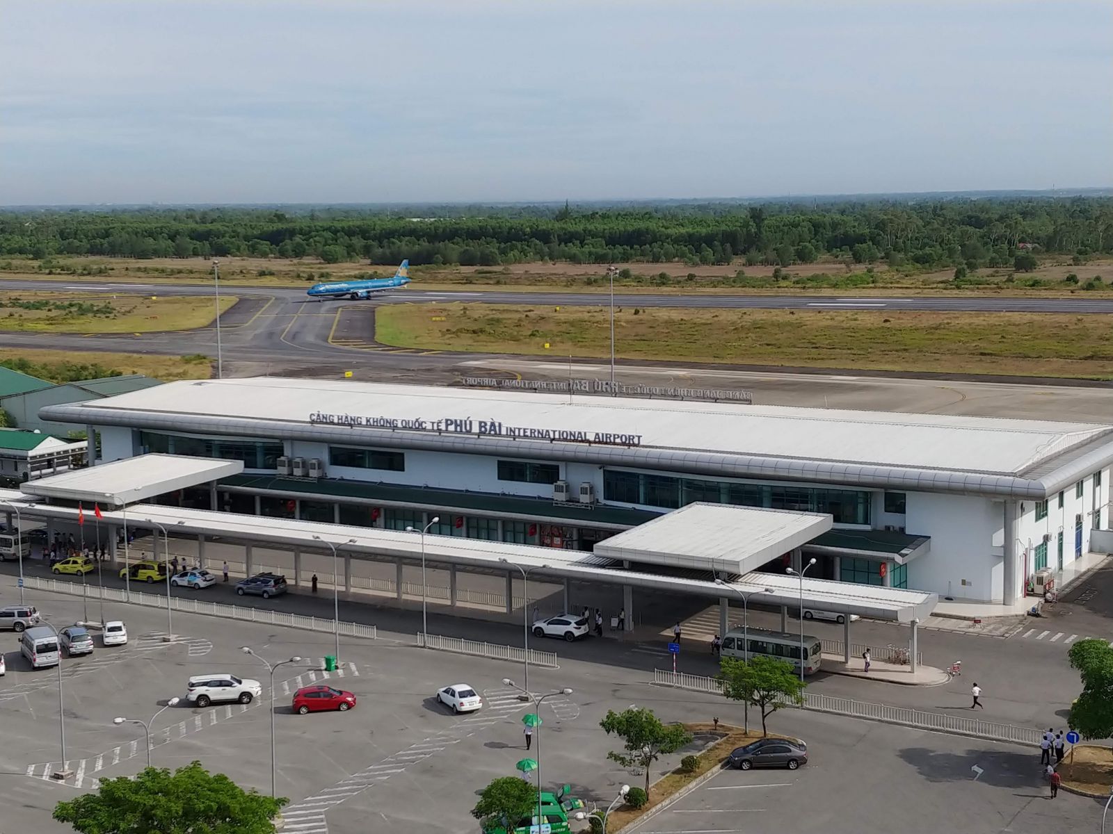
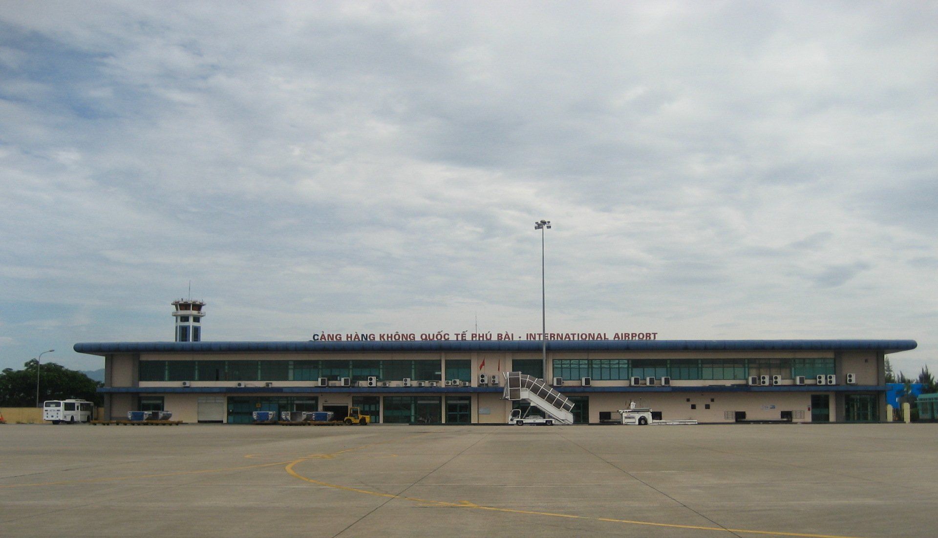
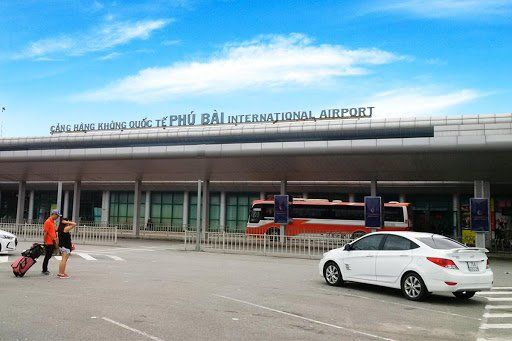
Phu Bai-Hue International Airport
Airlines and Destinations
| Airlines | Destinations |
|---|---|
| Bamboo Airways | Hanoi |
| Hai Au Aviation | Da Nang |
| Jetstar Pacific Airlines | Da Lat, Ho Chi Minh City |
| VietJet Air | Hanoi, Ho Chi Minh City |
| Vietnam Airlines | Da Lat, Hanoi, Ho Chi Minh City |
Phu Bai Airport Info
| Hue Airport IATA Code: | HUI | Hue Airport ICAO Code: | VVPB |
| Latitude: | 16.4015 | Longitude: | 107.703 |
| City: | Hue | Country: | Vietnam |
| World Area Code: | 791 | Airport Type: | Medium |
| Hue Airport Address: | Khu 8, Hương Thủy, Thua Thien Hue | ||
| Contact Details: | +84 234 3861 131 | ||
| Airport Type: | Public | ||
| Operator: | Middle Airport Authority | ||
| Phu Bai Airport Timezone | GMT +07:00 hours |
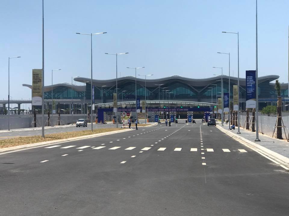
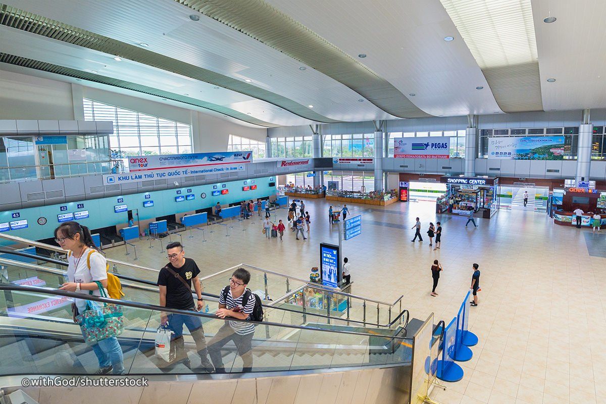
Cam Ranh-Nha Trang International Airport
Airlines and Destinations
| Airlines | Destinations | Airlines | Destinations |
|---|---|---|---|
| AirAsia | Kuala Lumpur–International | Sunday Airlines | Seasonal charter: Almaty |
| Air Busan | Busan | Thai AirAsia | Bangkok–Don Mueang |
| Air China | Chongqing, Hangzhou | T'way Airlines | Daegu, Seoul–Incheon |
| Air Seoul | Seoul–Incheon | Urumqi Air | Lanzhou |
| Asiana Airlines | Seoul-Incheon | VietJet Air | Busan, Can Tho, Chengdu, Chongqing, Da Nang, Hai Phong, Hangzhou, Hanoi, Ho Chi Minh City, Kunming, Nanchang, Ningbo, Seoul–Incheon, Shanghai–Pudong, Taipei–Taoyuan, Tianjin, Vinh |
| Azur Air | Moscow–Vnukovo | Seasonal charter: Chita, Novokuznetsk, Novosibirsk, Ulan-Ude, Vladivostok | Vietnam Airlines | Changzhou, Da Nang, Hai Phong, Hanoi, Hohhot, Ho Chi Minh City, Nanjing, Nanning, Ordos, Quanzhou, Seoul–Incheon, Tianjin, Vinh, Wuxi, Yancheng, Yinchuan | Seasonal: Beijing–Capital, Chengdu, Chongqing, Guiyang, Hangzhou, Kunming, Moscow–Sheremetyevo, Ningbo, Novosibirsk (begins 25 September 2020), Shanghai–Pudong, Tianjin, Vladivostok, Wenzhou, Wuhan, Yekaterinburg (begins 3 October 2020) | Charter: Dalian, Shenyang, Taiyuan, Zhengzhou | Seasonal charter: Changchun |
| Azur Air Ukraine | Seasonal charter: Kiev–Boryspil | Okay Airways | Changsha |
| Bamboo Airways | Da Nang, Hai Phong, Hanoi, Ho Chi Minh City, Seoul–Incheon | Charter: Macau | Pegas Fly | Seasonal charter: Irkutsk, Nizhny Novgorod, Novosibirsk, Perm, Surgut, Saint Petersburg, Voronezh |
| Bangkok Airways | Bangkok–Suvarnabhumi | Qingdao Airlines | Chengdu, Lanzhou, Nanjing |
| Beijing Capital Airlines | Hangzhou | Royal Flight | Seasonal charter: Moscow–Sheremetyevo |
| China Southern Airlines | Guangzhou | S7 Airlines | Irkutsk |
| Eastar Jet | Seoul–Incheon | Sichuan Airlines | Chengdu, Chongqing, Guangzhou, Xining |
| Hainan Airlines | Guangzhou, Shenzhen | Korean Air | Seoul–Incheon |
| HK Express | Hong Kong | Loong Air | Xi'an |
| Jeju Air | Seoul–Incheon | Lucky Air | Kunming |
| Jetstar Pacific Airlines | Changsha, Guiyang, Hangzhou, Hanoi, Ho Chi Minh City, Vinh, Wuhan | Nordwind Airlines | Moscow–Sheremetyevo | Seasonal charter: Blagoveshchensk, Bratsk, Irkutsk, Khabarovsk, Krasnoyarsk, Nizhnevartovsk, Omsk, Petropavlovsk-Kamchatsky, Rostov-on-Don, Vladivostok, Yuzhno-Sakhalinsk |
Cam Ranh Airport Info
| Cam Ranh Airport IATA Code: | CXR | Cam Ranh Airport ICAO Code: | VVCR |
| Latitude: | 12.2275 | Longitude: | 109.192 |
| City: | Cam Ranh | Country: | Vietnam |
| World Area Code: | 791 | Airport Type: | Medium |
| Cam Ranh Airport Address: | Nguyen Tat Thanh, Cam Ranh city, Khanh Hoa province, Vietnam | ||
| Website: | http://www.camranh.aero/vi | ||
| Airport Type: | Public/military | ||
| Operator: | Airports Corporation of Vietnam | ||
| Established Year: | 1949 | ||
| Cam Ranh Airport Timezone: | GMT +07:00 hours |
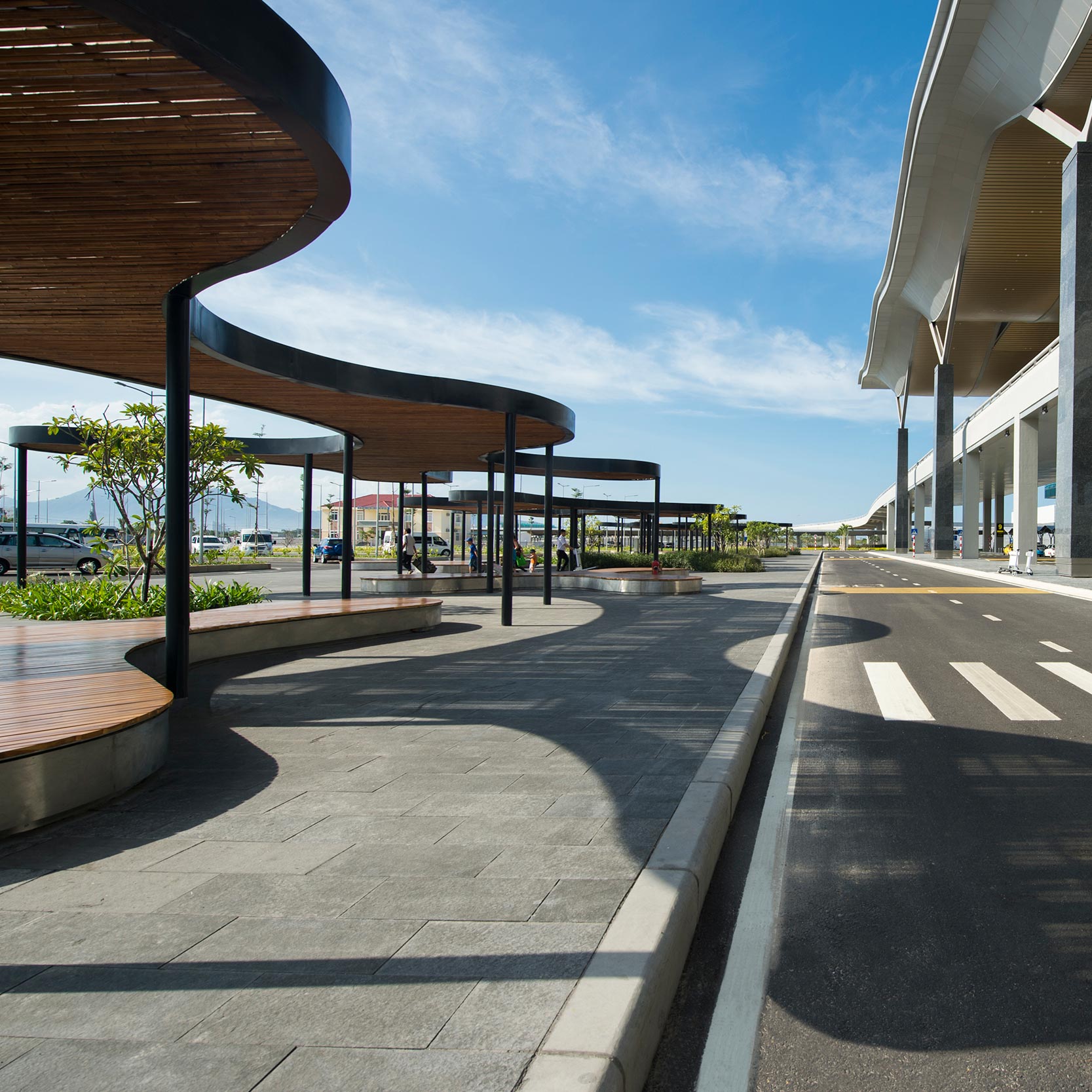
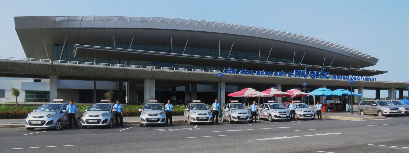
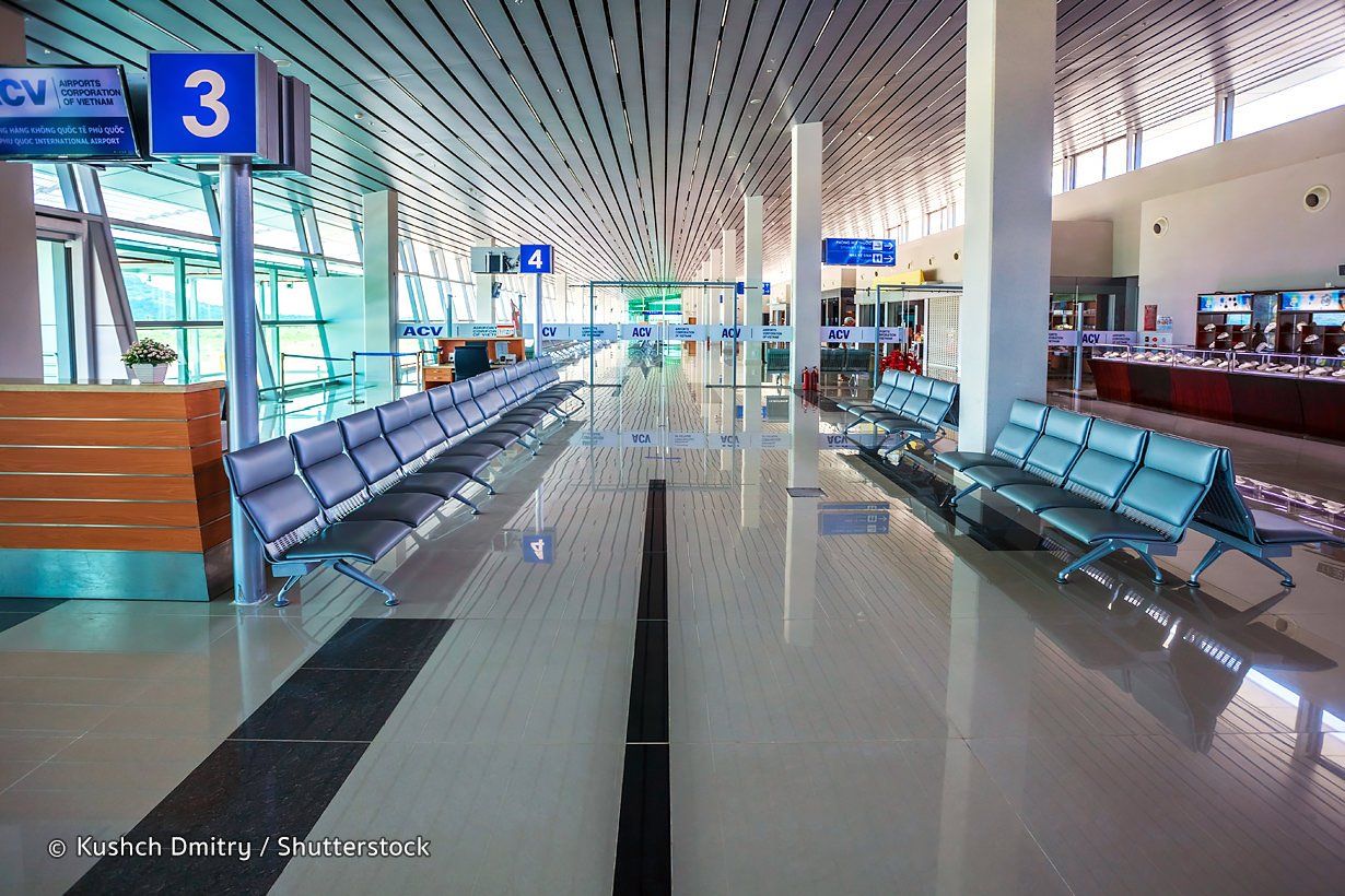
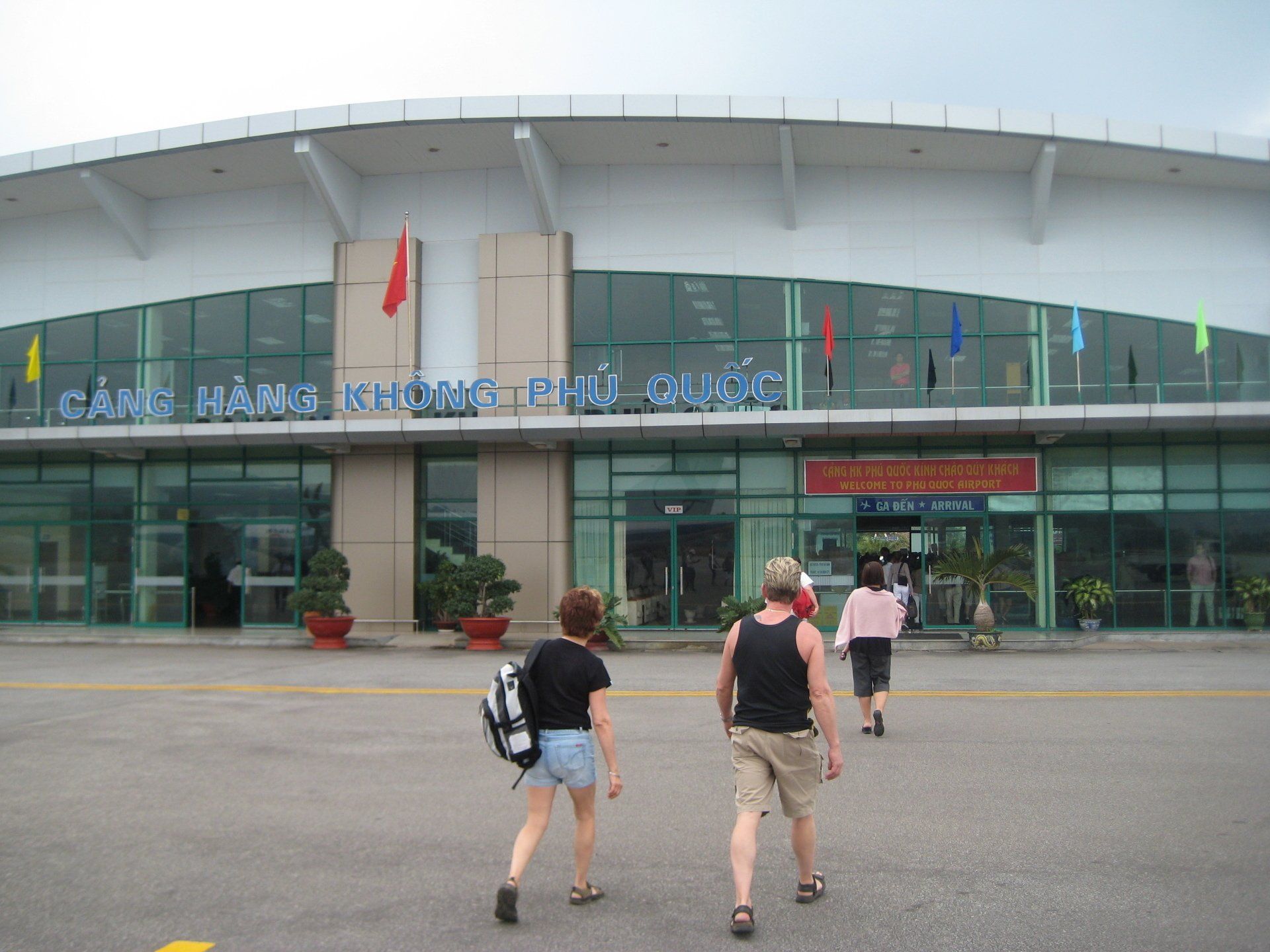
Phu Quoc International Airport
Airlines and Destinations
| Airlines | Destinations |
|---|---|
| AirAsia | Kuala Lumpur–International |
| Asiana Airlines | Seoul–Incheon |
| Azur Air | Seasonal charter: Krasnoyarsk, Moscow–Vnukovo, Yekaterinburg |
| Bamboo Airways | Hanoi, Ho Chi Minh City, Thanh Hoa |
| Bangkok Airways | Bangkok–Suvarnabhumi |
| China Eastern Airlines | Seasonal: Kunming |
| China Southern Airlines | Guangzhou |
| Eastar Jet | Seasonal: Seoul–Incheon |
| Hainan Airlines | Shenzhen |
| Jeju Air | Seoul–Incheon |
| Jetstar Pacific Airlines | Ho Chi Minh City | Seasonal: Da Nang | Seasonal charter: Wenzhou, Kunming |
| Korean Air | Seasonal: Seoul–Incheon |
| Lucky Air | Seasonal: Kunming |
| Neos | Seasonal: Milan–Malpensa |
| Okay Airways | Nanning |
| Royal Flight | Seasonal charter: Irkutsk, Kemerovo, Khabarovsk, Krasnoyarsk, Novosibirsk, Moscow–Sheremetyevo, Vladivostok, Yekaterinburg |
| TUI Airways | Seasonal: London–Gatwick | Seasonal charter: Copenhagen, Helsinki, Oslo, Stockholm–Arlanda |
| VietJet Air | Da Nang, Hai Phong, Hanoi, Ho Chi Minh City, Hong Kong, Seoul–Incheon, Vinh | Seasonal charter: Chengdu, Hangzhou, Ningbo |
| Vietnam Airlines | Da Lat, Da Nang, Hai Phong, Hanoi, Ho Chi Minh City, Shanghai–Pudong, Vinh, Wenzhou | Seasonal: Moscow–Sheremetyevo (begins 11 September 2020), Novosibirsk (begins 5 October 2020), Vladivostok (begins 16 September 2020), Yekaterinburg (begins 4 October 2020) | Charter: Chengdu, Kunming, Seoul–Incheon, Wuxi |
| Vietnam Airlines operated by VASCO | Can Tho |
Phu Quoc Airport Info
| Phu Quoc Airport IATA Code: | PQC | Phu Quoc Airport ICAO Code: | VVPQ |
| Latitude: | 10.2264 | Longitude: | 103.965 |
| City: | Can Tho | Country: | Vietnam |
| World Area Code: | 791 | Airport Type: | Medium |
| Phu Quoc Airport Address: | Phu Quoc Airport (PQC), Dương Đông, Phu Quoc District, Kien Giang, Vietnam | ||
| Website | http://phuquocairport.vn/ | ||
| Airport Type: | Public, defunct | ||
| Operator: | Southern Airports Services Company | ||
| Phu Quoc Airport Timezone: | GMT +07:00 hours |
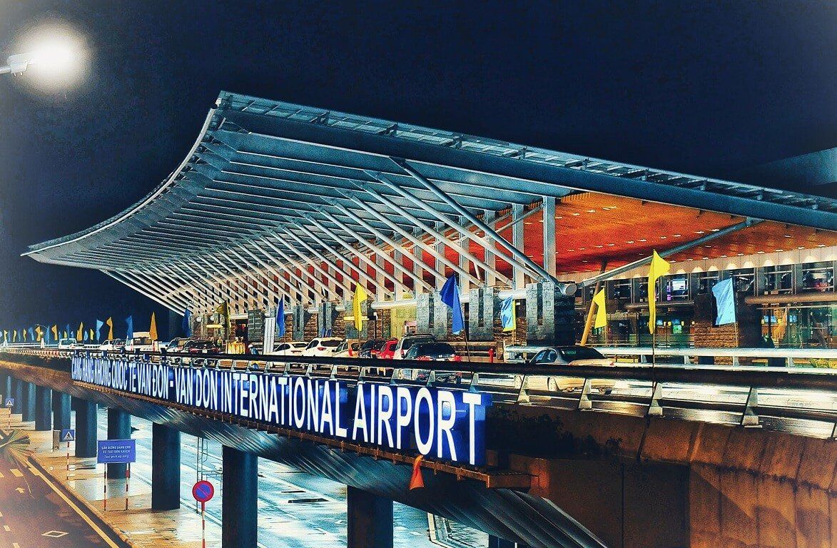
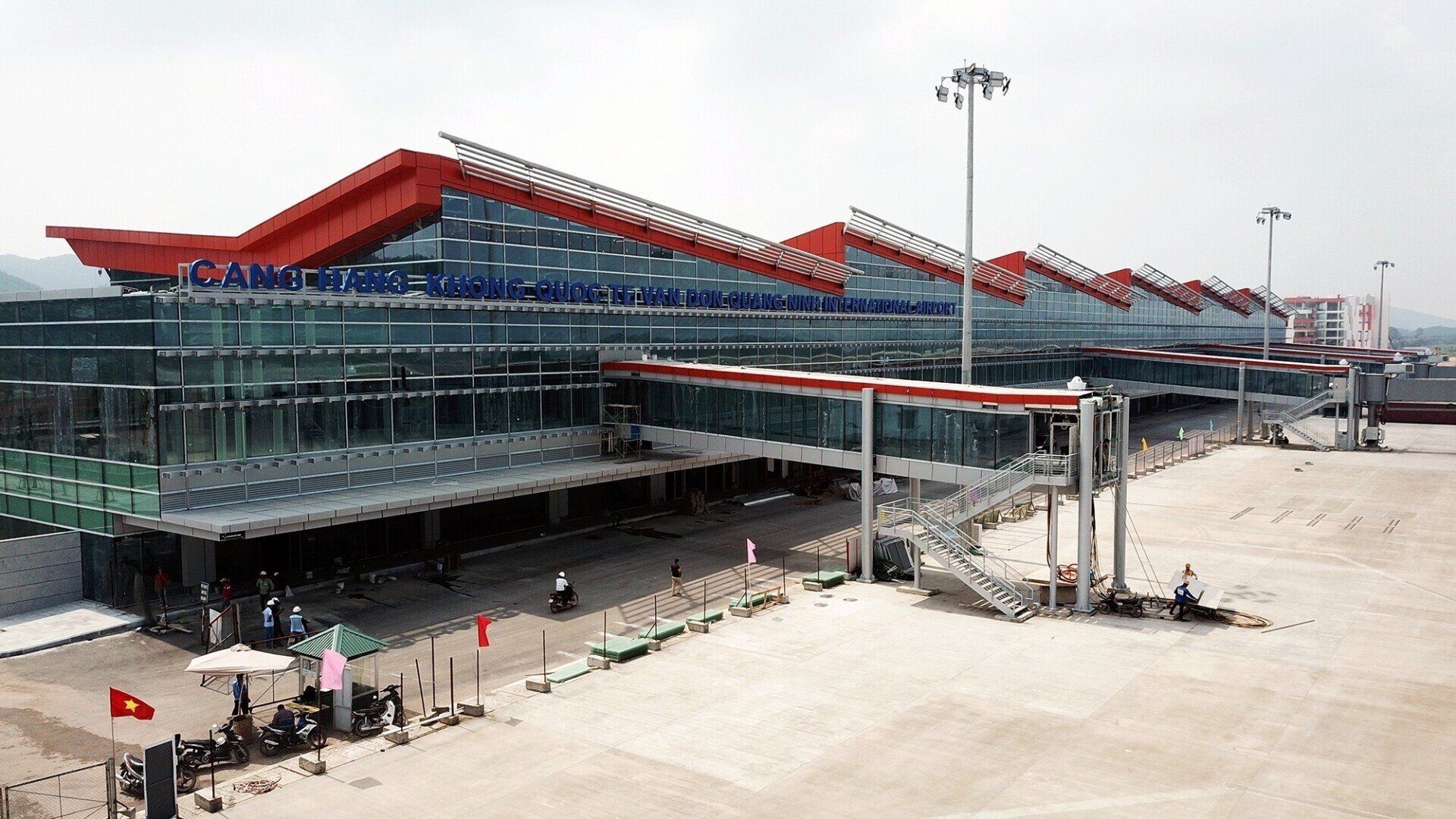
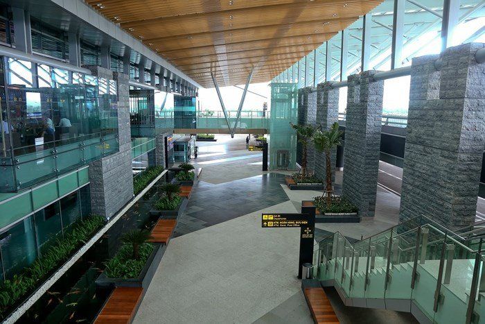
Van Don-Quang Ninh (Halong Bay) International Airport
Airlines and Destinations
| Airlines | Destinations |
|---|---|
| Bamboo Airways | Ho Chi Minh City |
| Donghai Airlines | Shenzhen |
| Qingdao Airlines | Charter: Changsha |
| Vietnam Airlines | Da Nang, Ho Chi Minh City | Charter: Seoul-Incheon |
| VietJet Air | Ho Chi Minh City |
Van Don Airport Info
| Van Don Airport IATA Code: | VDO | Van Don Airport ICAO Code: | VVVD |
| City: | Ha Long | Country: | Vietnam |
| World Area Code: | 791 | Airport Type: | Medium |
| Van Don Airport Address: | Đoàn Kết, Vân Đồn District, Quảng Ninh | ||
| Contact Details: | +84 (0) 203 3901 111 | ||
| Website | http://www.vandon-airport.com | ||
| Airport Type: | Public | ||
| Operator: | Van Don Investment and Development JSC ; Northern Airports Authority | ||
| Established Year: | 2018 | ||
| Van Don Airport Timezone: | GMT +07:00 hours |
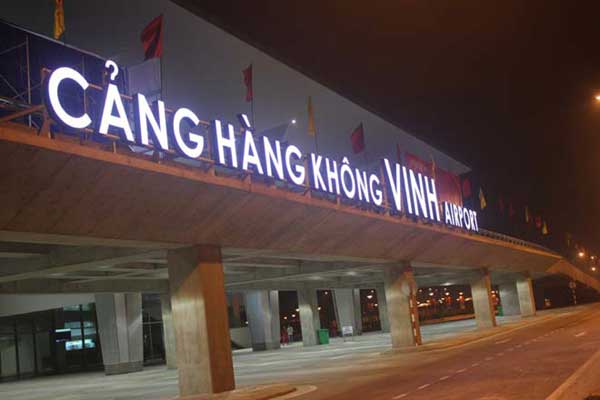
Vinh International Airport
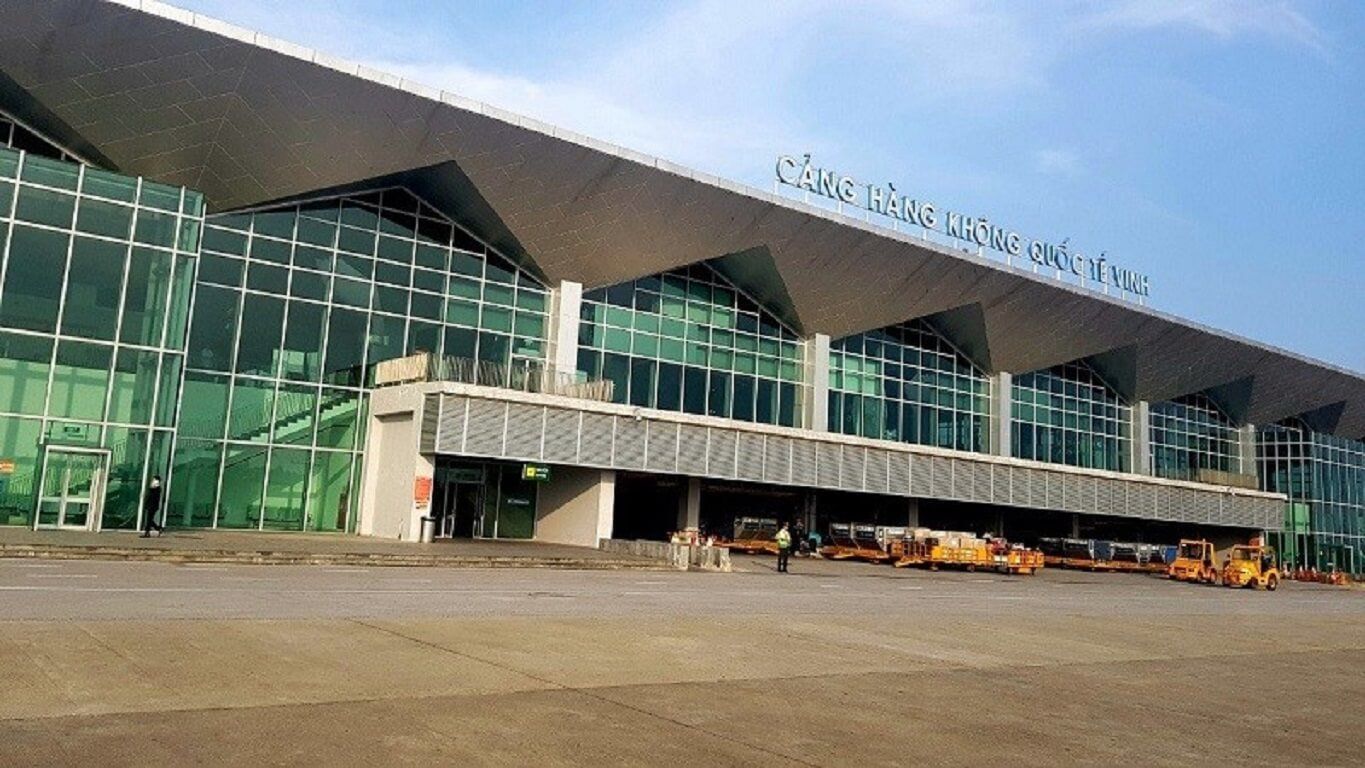
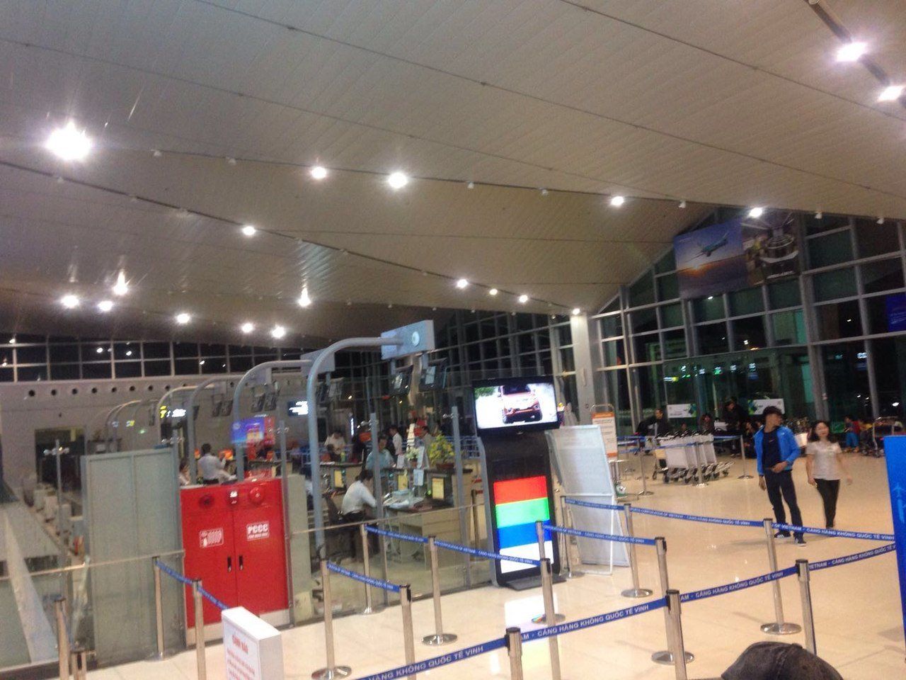
Airlines and Destinations
| Airlines | Destinations |
|---|---|
| Bamboo Airways | Buon Ma Thuot, Da Lat, Hanoi, Ho Chi Minh City |
| Jetstar Pacific Airlines | Ho Chi Minh City, Nha Trang |
| VietJet Air | Buon Ma Thuot, Can Tho, Da Lat, Da Nang, Ho Chi Minh City, Nha Trang, Phu Quoc |
| Vietnam Airlines | Buon Ma Thuot, Can Tho, Da Lat, Hanoi, Ho Chi Minh City, Nha Trang, Phu Quoc |
| Vietnam Airlines operated by VASCO | Hanoi |
Vinh Airport Info
| Vinh Airport IATA Code: | VII | Vinh Airport ICAO Code: | VVVH |
| Latitude: | 18.737 | Longitude: | 105.671 |
| City: | Vinh City | Country: | Vietnam |
| World Area Code: | 791 | Airport Type: | Medium |
| Vinh Airport Address: | Vinh Airport (VII), Nghe An, Vietnam | ||
| Contact Details: | +84 (0) 238 3851 476 | ||
| Website | https://www.vietnamairport.vn/vinhairport/en/ | ||
| Airport Type: | Public | ||
| Operator: | Middle Airport Authority | ||
| Vinh Airport Timezone: | GMT +07:00 hours |
Buon Ma Thuot Domestic Airport
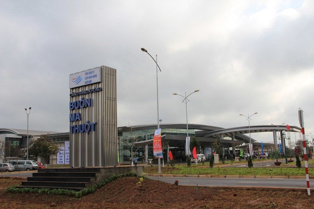
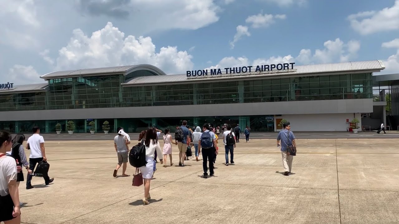
Airlines and Destinations
| Airlines | Destinations |
|---|---|
| Bamboo Airways | Hai Phong, Hanoi, Vinh |
| Jetstar Pacific Airlines | Da Nang, Ho Chi Minh City, Thanh Hoa |
| VietJet Air | Da Nang, Hai Phong, Hanoi, Ho Chi Minh City, Vinh |
| Vietnam Airlines | Can Tho, Da Nang, Hai Phong, Hanoi, Ho Chi Minh City, Thanh Hoa, Vinh |
Buon Ma Thuot Airport Info
| Buon Ma Thuot Airport IATA Code: | BMV | Buon Ma Thuot Airport ICAO Code: | VVCT |
| Latitude: | 12.6683 | Longitude: | 108.12 |
| City: | Buon Ma Thuot | Country: | Vietnam |
| World Area Code: | 791 | Airport Type: | Medium |
| Buon Ma Thuot Airport Address: | Buon Ma Thuot Airpor (BMV), Vietnam | ||
| Contact Details: | +84 500 3862 248 | ||
| Airport Type: | Public | ||
| Operator: | Central Airports Authority | ||
| Buon Ma Thuot Airport Timezone: | GMT +07:00 hours |
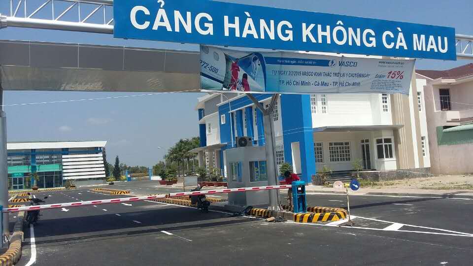
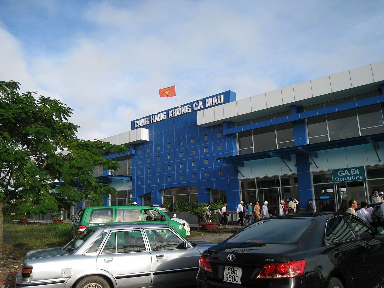
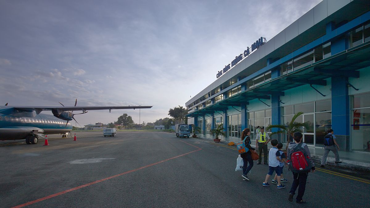
Ca Mau Domestic Airport
Airlines and Destinations
| Airlines | Destinations |
|---|---|
| Vietnam Airlines operated by VASCO | Ho Chi Minh City |
Ca Mau Airport Info
| Ca Mau Airport IATA Code: | CAH | Ca Mau Airport ICAO Code: | VVCM |
| Latitude: | 9.16667 | Longitude: | 105.15 |
| City: | Ca Mau | Country: | Vietnam |
| World Area Code: | 791 | Airport Type: | Small |
| Ca Mau Airport Address: | 93 Lý Thường Kiệt, Phường 6, Thành phố Cà Mau, Cà Mau | ||
| Contact Details: | +84 (0) 290 3833 815 | ||
| Website: | https://www.vietnamairport.vn/camauairport/en/ | ||
| Airport Type: | Public | ||
| Operator: | Southern Airports Authority | ||
| Established Year: | 1962 | ||
| Ca Mau Airport Timezone: | GMT +07:00 hours |
Co Ong-Côn Đảo Island Domestic Airport
Airlines and Destinations
| Airlines | Destinations |
|---|---|
| Bamboo Airways | Can Tho, Da Nang, Hanoi (all begins on 18 August 2020) |
| Southern Service Flight Company | Vung Tau |
| Vietnam Airlines operated by VASCO | Can Tho, Ho Chi Minh City |
Con Dao Airport Info
| Con Dao Airport IATA Code: | VCS | Con Dao Airport ICAO Code: | VVCS |
| Latitude: | 8.73183 | Longitude: | 106.633 |
| City: | Con Dao | Country: | Vietnam |
| World Area Code: | 791 | Airport Type: | Medium |
| Con Dao Airport Address: | Cỏ Ống, Côn Đảo, Bà Rịa - Vũng Tàu | ||
| Contact Details: | +84 (0) 90 383 12 40 | ||
| Airport Type: | Public | ||
| Operator: | Southern Airports Authority | ||
| Con Dao Airport Timezone: | GMT +07:00 hours |
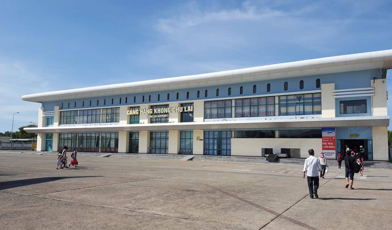
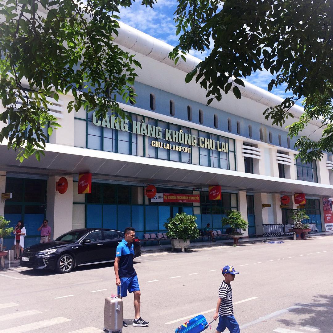
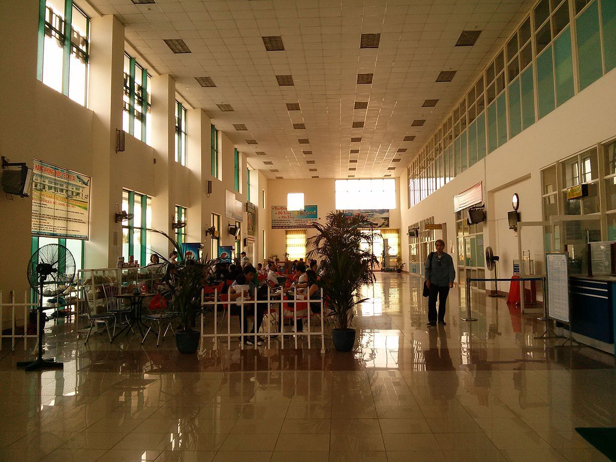
Chu Lai Domestic Airport
Airlines and Destinations
| Airlines | Destinations |
|---|---|
| Bamboo Airways | Hanoi |
| Jetstar Pacific Airlines | Ho Chi Minh City |
| VietJet Air | Hanoi, Ho Chi Minh City |
| Vietnam Airlines | Hanoi, Ho Chi Minh City |
Chu Lai Airport Info
| Chu Lai Airport IATA Code: | VCL | Chu Lai Airport ICAO Code: | VVCA |
| Latitude: | 15.4058 | Longitude: | 108.7 |
| City: | Can Tho | Country: | Vietnam |
| World Area Code: | 791 | Airport Type: | Small |
| Chu Lai Airport Address: | Quang Nam Province | ||
| Contact Details: | +84 (0) 235 3535 516 | ||
| Website | https://www.vietnamairport.vn/chulaiairport/en/ | ||
| Airport Type: | Public | ||
| Operator: | Middle Airports Corporation | ||
| Chu Lai Airport Timezone: | GMT +07:00 hours |
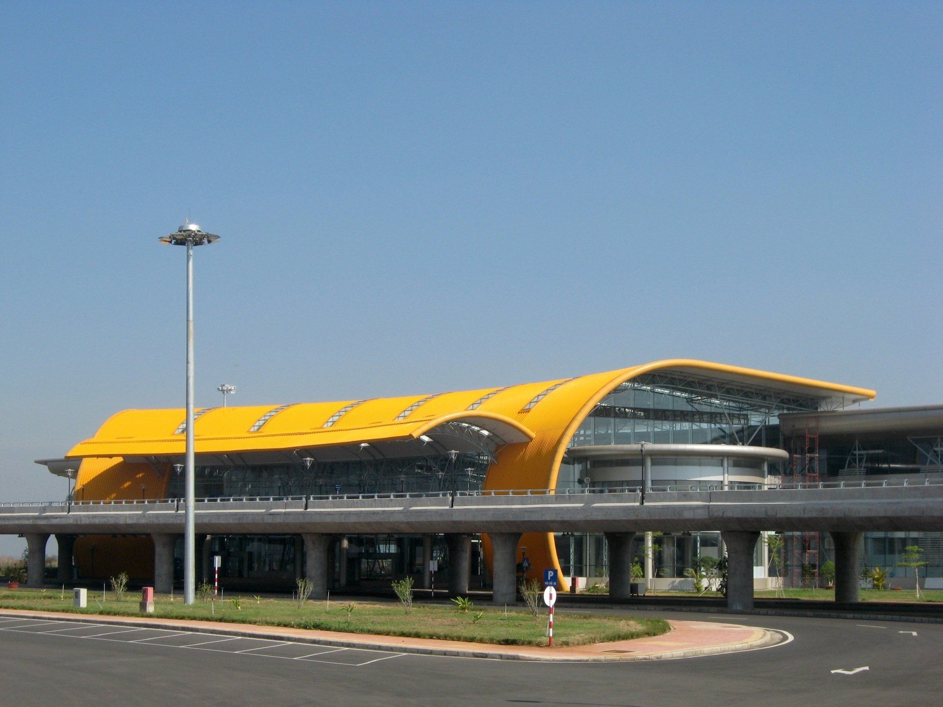
Lien Khuong-Da Lat Domestic Airport
Airlines and Destinations
| Airlines | Destinations |
|---|---|
| AirAsia | Kuala Lumpur–International |
| Bamboo Airways | Da Nang, Hanoi, Vinh |
| Jetstar Pacific | Hanoi, Ho Chi Minh City, Hue |
| Korean Air | Seoul–Incheon |
| Qingdao Airlines | Lanzhou |
| Thai Vietjet Air | Bangkok–Suvarnabhumi |
| VietJet Air | Can Tho, Da Nang, Hai Phong, Hanoi, Ho Chi Minh City, Seoul–Incheon, Vinh |
| Vietnam Airlines | Can Tho, Da Nang, Hai Phong, Hanoi, Ho Chi Minh City, Hue, Phu Quoc, Thanh Hoa, Vinh |
Lien Khuong Airport Info
| Lien Khuong Airport IATA Code: | DLI | Can Tho Airport ICAO Code: | VVDL |
| Latitude: | 11.75 | Longitude : | 108.367 |
| City: | Dalat | Country : | Vietnam |
| World Area Code: | 791 | Airport Type : | Small |
| Lien Khuong Airport Address: | QL20, Liên Nghĩa, Đức Trọng, Lâm Đồng | ||
| Contact Details: | +84 (0) 263 3843 373 | ||
| Website | https://www.vietnamairport.vn/lienkhuongairport/en/ | ||
| Airport Type: | Public | ||
| Operator: | Airports Corporation of Vietnam | ||
| Established Year: | 1933 | ||
| Lien Khuong Airport Timezone: | GMT +07:00 hours |
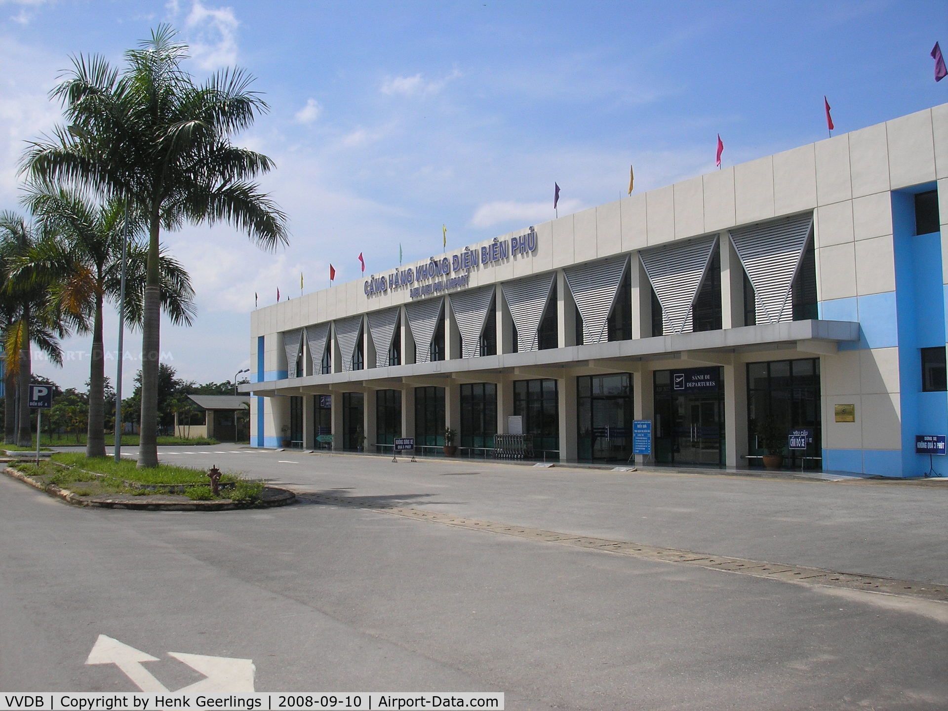
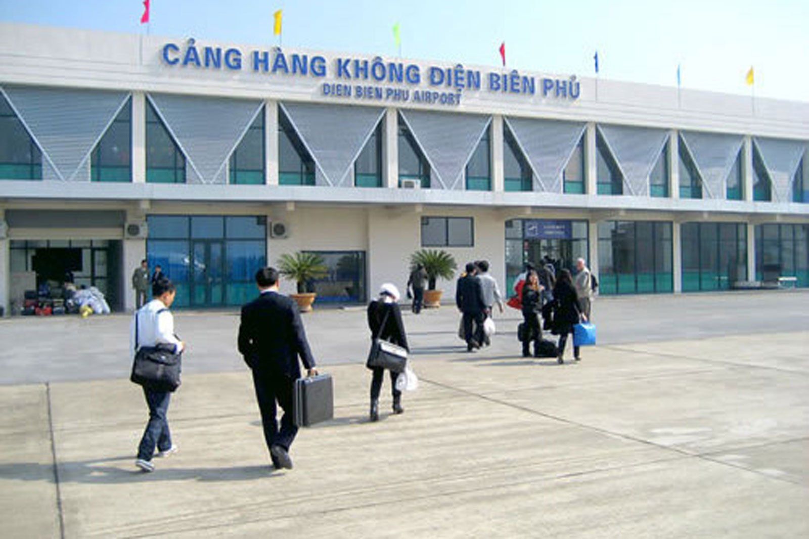
Điện Biên Phủ Domestic Airport
Airlines and Destinations
| Airlines | Destinations |
|---|---|
| Vietnam Airlines | Hai Phong |
| Vietnam Airlines operated by VASCO | Hanoi |
Điện Biên Phủ Airport Info
| Điện Biên Phủ Airport IATA Code: | DIN | Điện Biên Phủ Airport ICAO Code: | VVDB |
| Latitude: | 21.398 | Longitude: | 103.005 |
| City: | Dien Bien Phu | Country: | Vietnam |
| World Area Code: | 791 | Airport Type: | Medium |
| Điện Biên Phủ Airport Address: | Dien Bien Phu Airport (DIN), Mường Thanh, Dien Bien Phu, Dien Bien, Vietnam | ||
| Contact Details: | +84 (0) 215 3824 411 | ||
| Airport Type: | Public | ||
| Operator: | Northern Airports Services Company | ||
| Điện Biên Phủ Airport Timezone: | GMT +07:00 hours |
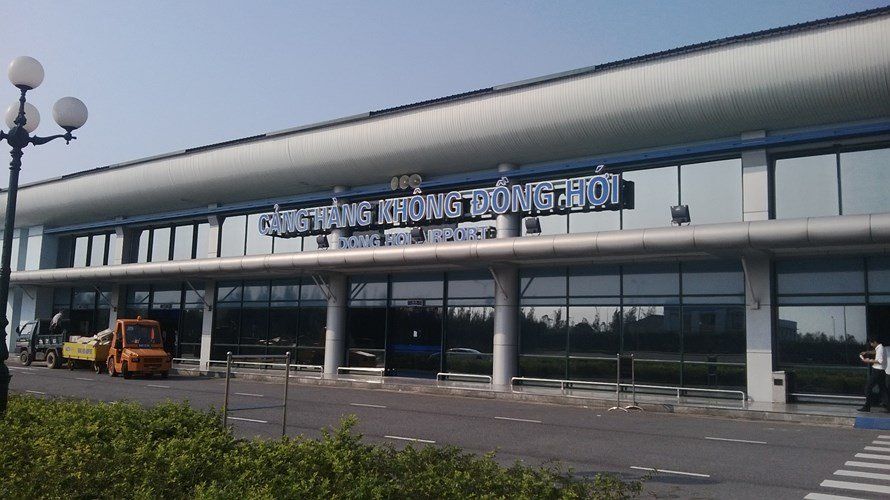
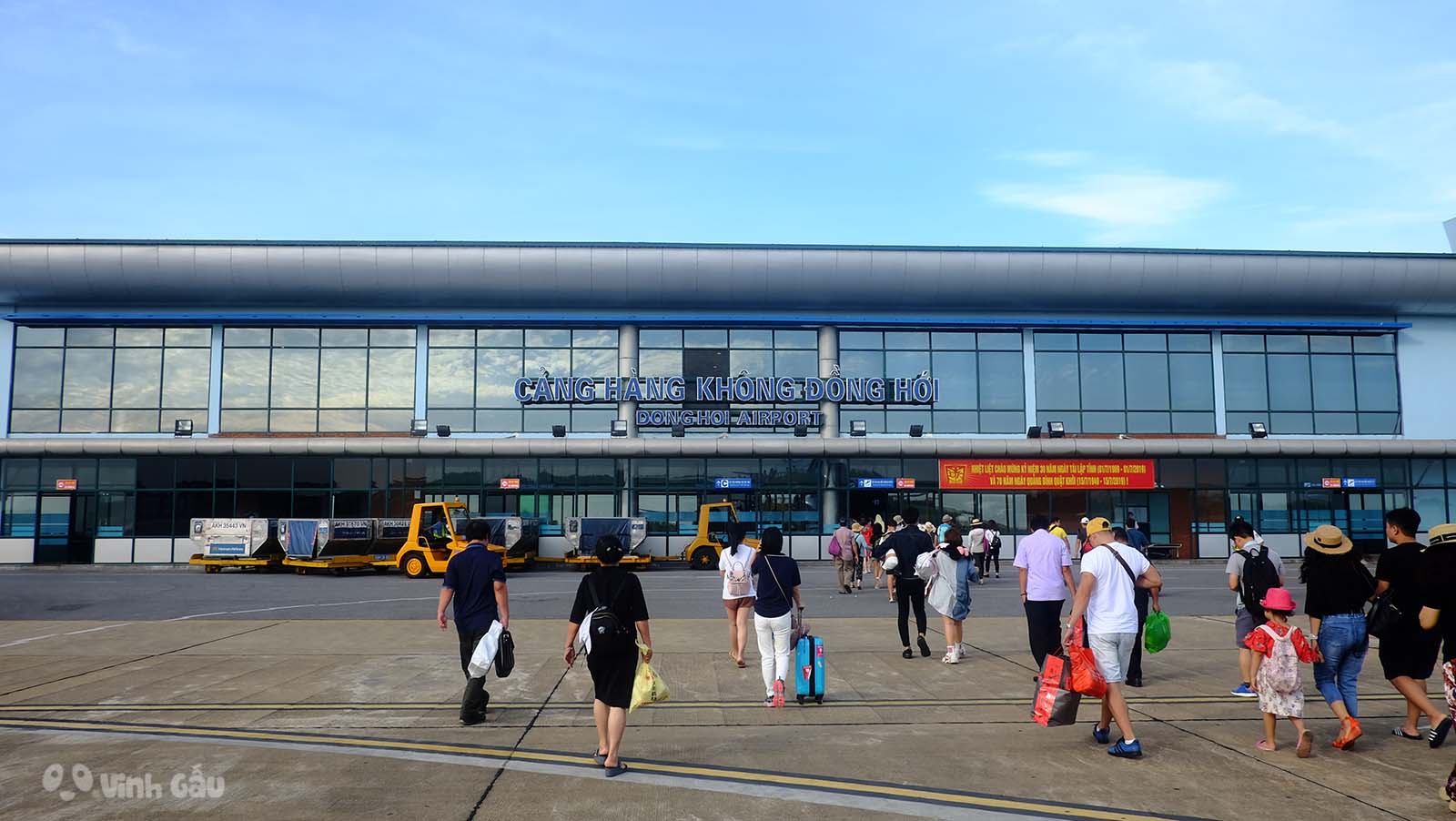
Dong Hoi Domestic Airport
Airlines and Destinations
| Airlines | Destinations |
|---|---|
| Bamboo Airways | Hanoi, Ho Chi Minh City |
| Hai Au Aviation | Charter: Da Nang |
| Jetstar Pacific Airlines | Ho Chi Minh City |
| Vietjet Air | Hanoi, Ho Chi Minh City |
| Vietnam Airlines | Hanoi, Ho Chi Minh City |
| Vietnam Airlines operated by VASCO | Hanoi |
Dong Hoi Airport Info
| Dong Hoi Airport IATA Code: | VDH | Dong Hoi Airport ICAO Code: | VVDH |
| Latitude: | 17.3054 | Longitude: | 106.3526 |
| City: | Dong Hoi | Country: | Vietnam |
| World Area Code: | 791 | Airport Type: | Medium |
| Dong Hoi Airport Address: | Lộc Ninh, Đồng Hới, Quang Binh Province | ||
| Contact Details: | +84 (0) 232 3810 898 | ||
| Website | https://www.vietnamairport.vn/donghoiairport/en/ | ||
| Airport Type: | Public | ||
| Operator: | Airports Corporation of Vietnam | ||
| Dong Hoi Airport Timezone: | GMT +07:00 hours |
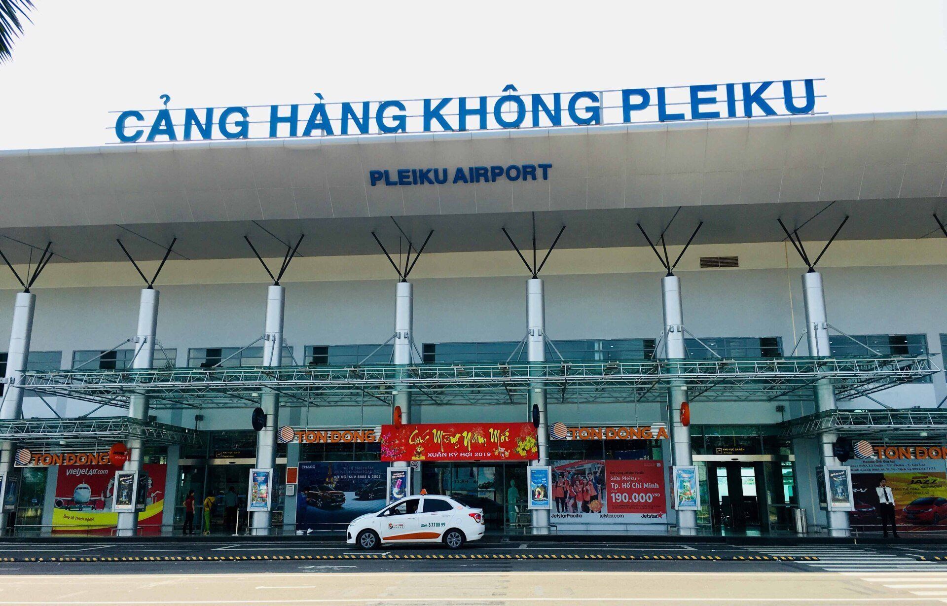
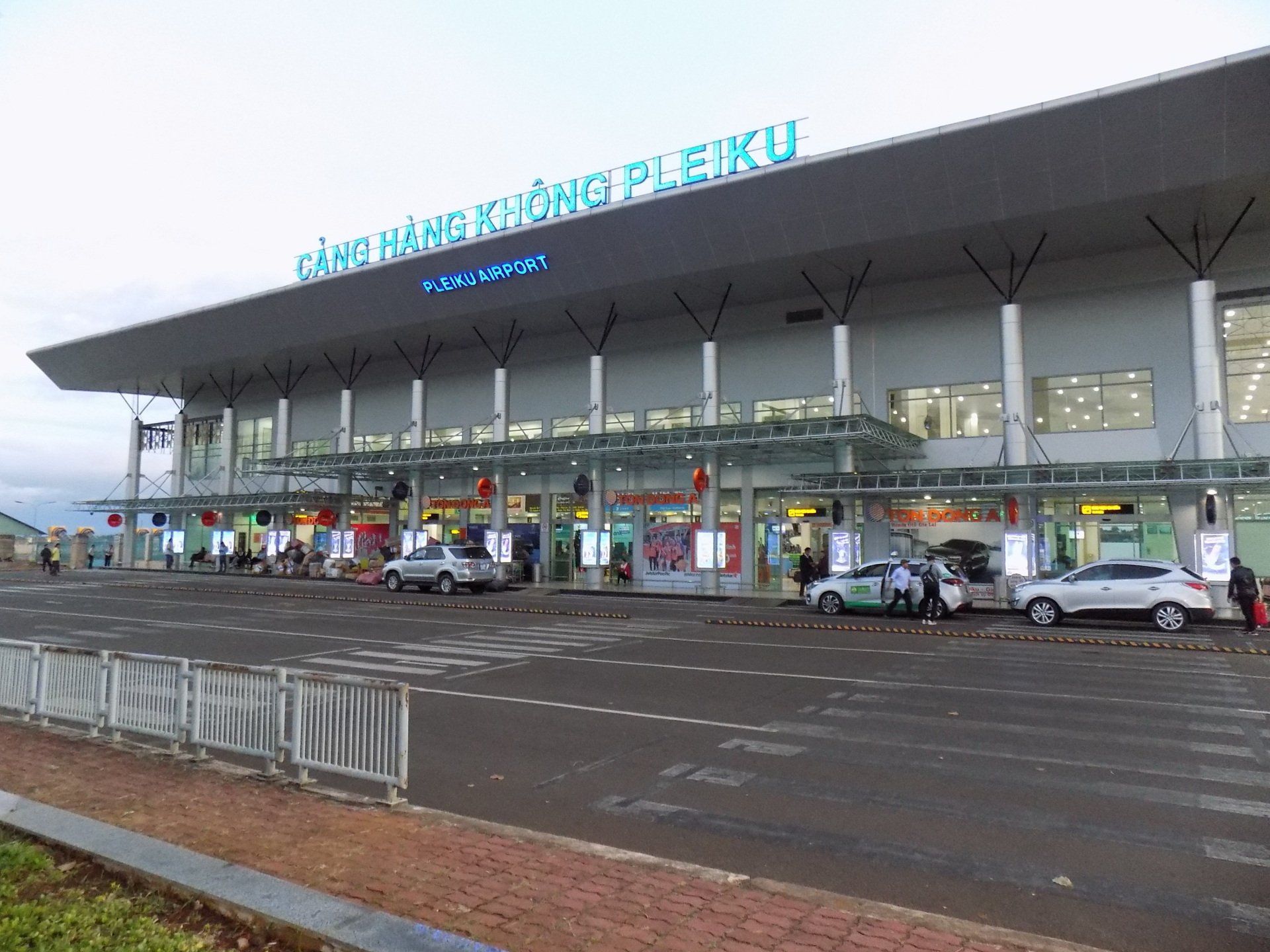
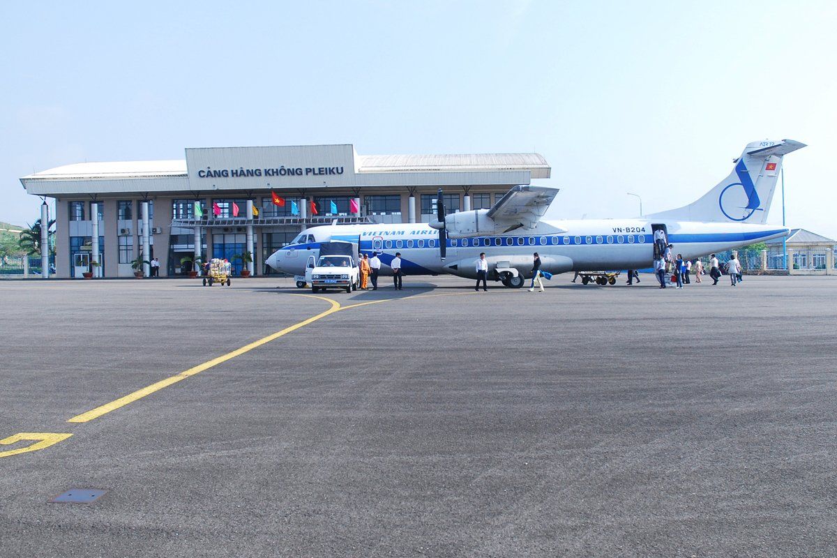
Pleiku Domestic Airport
Airlines and Destinations
| Airlines | Destinations |
|---|---|
| Bamboo Airways | Hanoi, Da Nang |
| Jetstar Pacific Airlines | Hanoi, Ho Chi Minh City |
| VietJet Air | Hanoi, Ho Chi Minh City, Hai Phong |
| Vietnam Airlines | Hanoi, Ho Chi Minh City |
Pleiku Airport Info
| Pleiku Airport IATA Code: | VCA | Can Tho Airport ICAO Code: | VVCT |
| Latitude: | 10.0853 | Longitude : | 105.712 |
| City: | Can Tho | Country : | Vietnam |
| World Area Code: | 791 | Airport Type : | Medium |
| Pleiku Airport Address: | Can Tho International Airport (VCA), Lê Hồng Phong, quận Bình Thuỷ, Can Tho, Vietnam, | ||
| Contact Details: | +84 (0) 710 3844301 | ||
| Website | http://www.canthoairport.vn/ | ||
| Airport Type: | Public | ||
| Operator : | Southern Airports Authority | ||
| Established Year : | 1965 | ||
| Can Tho Airport Timezone : | GMT +07:00 hours |
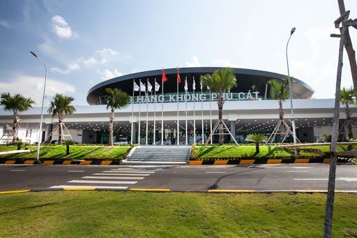
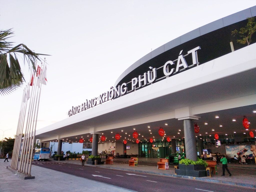
Phu Cat-Quy Nhơn Domestic Airport
Airlines and Destinations
| Airlines | Destinations |
|---|---|
| Bamboo Airways | Hai Phong, Hanoi, Ho Chi Minh City, Thanh Hoa | Seasonal charter: Cheongju |
| Jetstar Pacific | Ho Chi Minh City |
| VietJetAir | Hai Phong, Hanoi, Ho Chi Minh City |
| Vietnam Airlines | Hanoi, Ho Chi Minh City |
Phu Cat Airport Info
| Phu Cat Airport IATA Code: | UIH | Phu Cat Airport ICAO Code: | VVPC |
| Latitude: | 13.955 | Longitude: | 109.042 |
| City: | Quy Nhon | Country: | Vietnam |
| World Area Code: | 791 | Airport Type: | Medium |
| Phu Cat Airport Address: | Phù Cát District, Quy Nhon, Vietnam | ||
| Contact Details: | +84 (0) 710 3844301 | ||
| Website | https://www.vietnamairport.vn/phucatairport/en/ | ||
| Airport Type: | Public / Military | ||
| Operator: | Middle Airport Authority | ||
| Established Year: | 1967 | ||
| Phu Cat Airport Timezone: | GMT +07:00 hours |
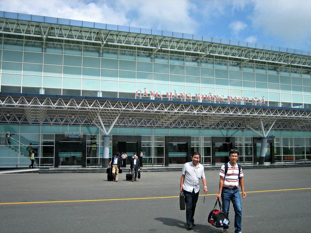
Rach Gia Domestic Airport
If you are planning to travel to Rach GiaAirport inVietnam, you find here all very useful information. This gives complete information about the Rach GiaAirport along with the airport location map, Time Zone, latitude & longitude, Rach Gia Airport Map showing the location of this airport in Vietnam, together with Rach Gia Airport IATA Code and also flight connections with the airliners who fly to other destinations in Vietnam or international flights. Friends Travel Vietnam can assist you to book those domestic flights or supply you with more information.
Airlines and Destinations
| Airlines | Destinations |
|---|---|
| Vietnam Airlines operated by VASCO | Ho Chi Minh City |
Rach Gia Airport Info
| Rach Gia Airport IATA Code: | VKG | Rach Gia Airport ICAO Code: | VVRG |
| Latitude: | 9.96061 | Longitude: | 105.134 |
| City: | Rach Gia | Country: | Vietnam |
| World Area Code: | 791 | Airport Type: | Medium |
| Rach Gia Airport Address: | Rạch Giá (VKG), 80, Rạch Giá, Kien Giang, Vietnam | ||
| Contact Details: | +84 (0) 297 3864 321 | ||
| Website | http://rachgiaairport.vn/ | ||
| Airport Type: | Public | ||
| Operator: | Southern Airports Services Company | ||
| Rach Gia Airport Timezone: | GMT +07:00 hours |
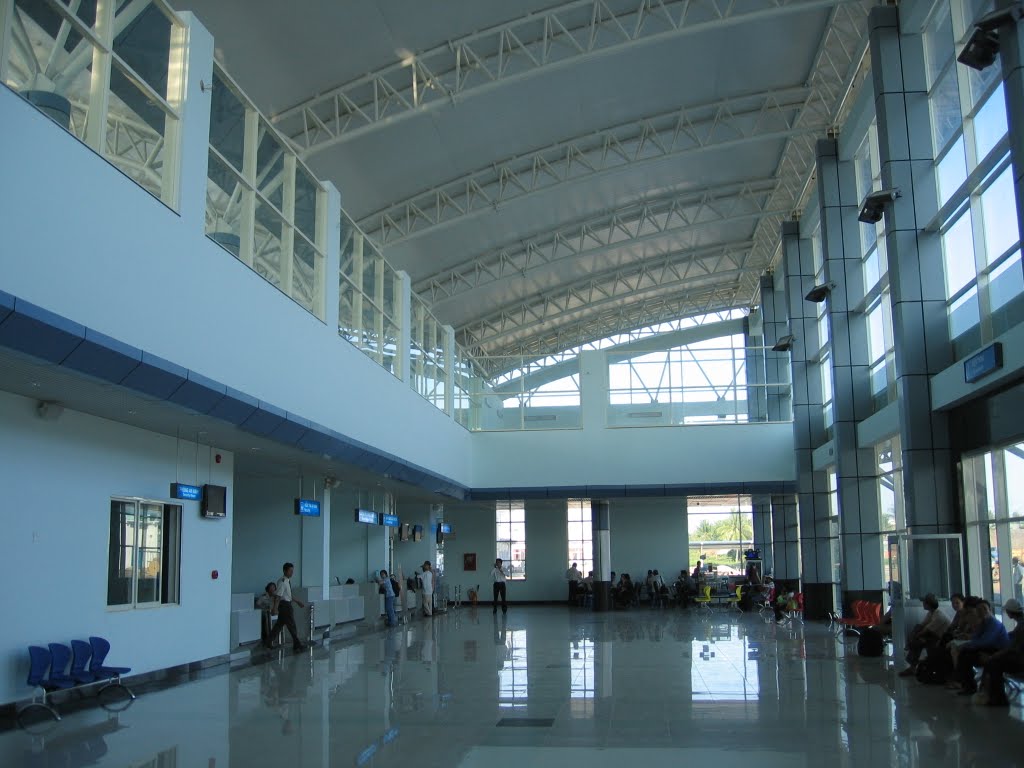
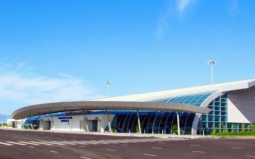
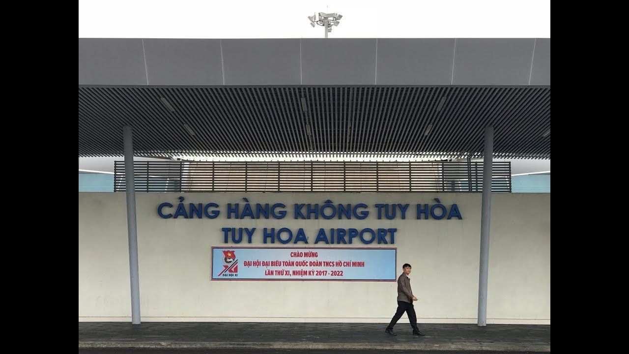
Dong Tac-Tuy Hòa Domestic Airport
Airlines and Destinations
| Airlines | Destinations |
|---|---|
| Bamboo Airways | Hanoi |
| Jetstar Pacific | Ho Chi Minh City |
| VietJet Air | Hanoi, Ho Chi Minh City |
| Vietnam Airlines | Hanoi, Ho Chi Minh City |
Tuy Hòa Airport Info
| Tuy Hòa Airport IATA Code: | TBB | Tuy Hòa Airport ICAO Code: | VVTH |
| Latitude: | 13.0494 | Longitude: | 109.334 |
| City: | Tuy Hoa | Country: | Vietnam |
| World Area Code: | 791 | Airport Type: | Medium |
| Tuy Hòa Airport Address: | Dong Tac Airport (TBB), Phu Lam, Tuy Hoa, Phu Yen, Vietnam | ||
| Contact Details: | +84 (0) 93 481 79 57 | ||
| Website | http://tuyhoaairport.vn/ | ||
| Airport Type: | Public | ||
| Operator: | Middle Airport Authority | ||
| Tuy Hòa Airport Timezone: | GMT +07:00 hours |
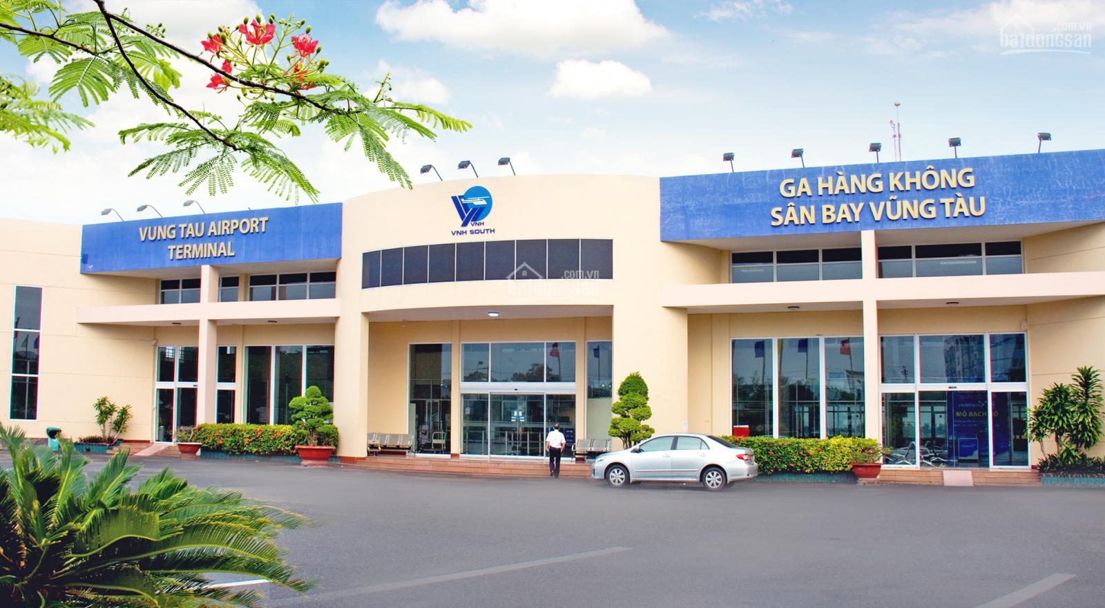
Vung Tau Domestic Airport
Vung Tau Airport Info
| Vung Tau Airport IATA Code: | VTG | Vung Tau Airport ICAO Code: | VVVT |
| Latitude: | 10.3753 | Longitude: | 107.093 |
| City: | Vung Tau | Country: | Vietnam |
| World Area Code: | 791 | Airport Type: | Small |
| Vung Tau Airport Address: | Vung Tau Airport (VTG), 51 C, Phường 9, Vung Tau, Ba Ria - Vung Tau, Vietnam | ||
| Airport Type: | Public | ||
| Operator: | Southern Service Flight Company | ||
| Vung Tau Airport Timezone: | GMT +07:00 hours |
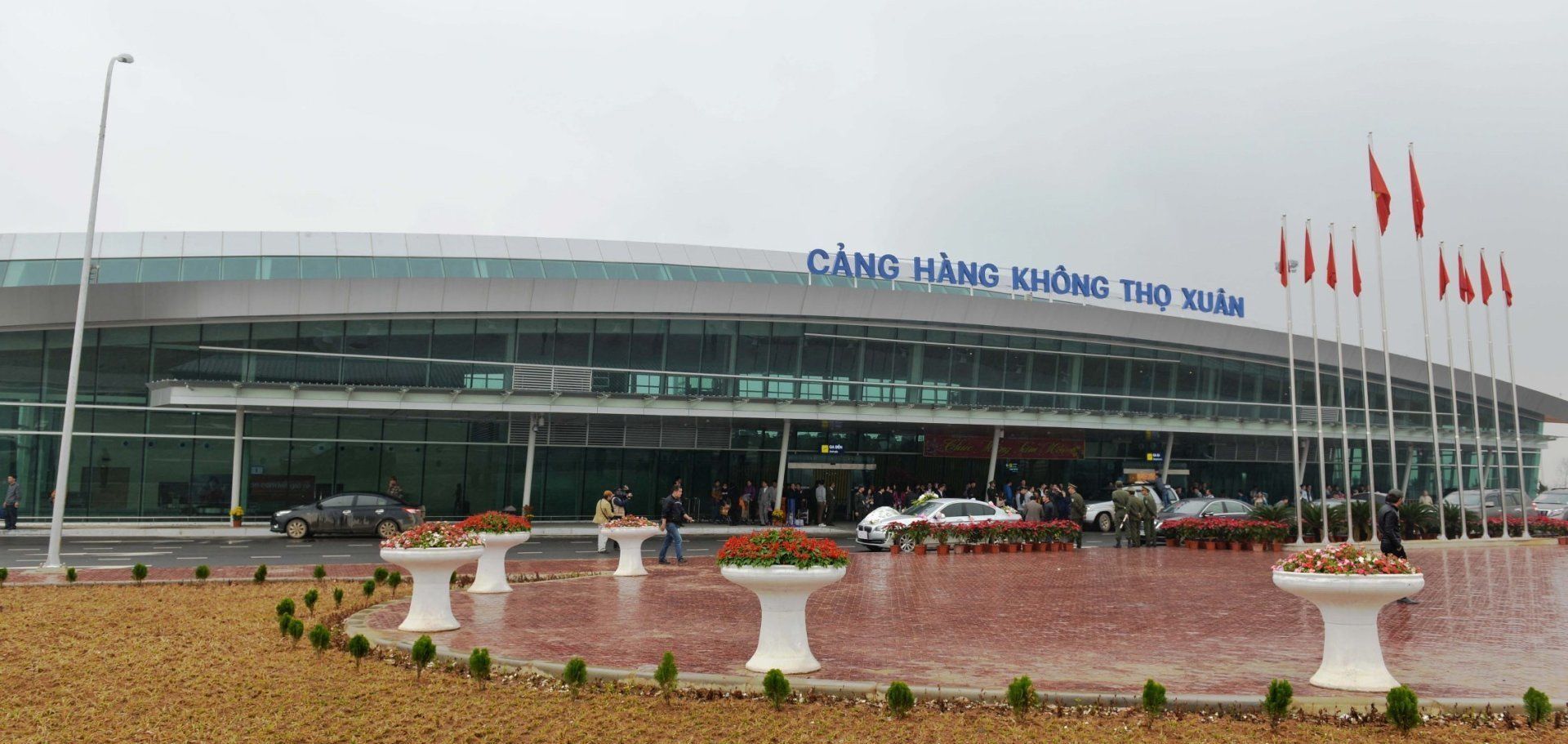
Tho Xuan-Thanh Hoá Domestic Airport


Airlines and Destinations
| Airlines | Destinations |
|---|---|
| Bamboo Airways | Ho Chi Minh City, Phu Quoc, Quy Nhon |
| Jetstar Pacific Airlines | Ho Chi Minh City |
| VietJet Air | Can Tho, Da Nang, Ho Chi Minh City |
| Vietnam Airlines | Buon Ma Thuot, Da Lat, Da Nang, Ho Chi Minh City |
Tho Xuan Airport Info
| Tho Xuan Airport IATA Code: | THD | Tho Xuan Airport ICAO Code: | VVTX |
| Latitude: | 19.5406 | Longitude: | 105.2804 |
| City: | Thanh Hoa | Country: | Vietnam |
| World Area Code: | 791 | Airport Type: | Medium |
| Tho Xuan Airport Address: | Xuân Thắng, Thọ Xuân, Thanh Hoá | ||
| Airport Type: | Civil/Military | ||
| Operator: | Vietnam People's Air Force | ||
| Established Year: | 1968 | ||
| Tho Xuan Airport Timezone: | GMT +07:00 hours |